


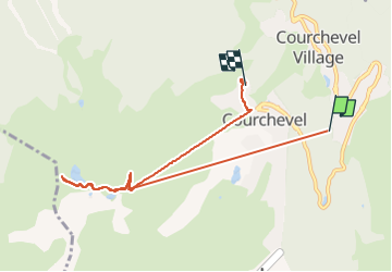

11,4 km | 24 km-effort


Usuario


Aplicación GPS de excursión GRATIS
 SityTrail
IGN / Institutos geográficos
SityTrail World
El mundo es suyo
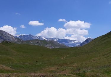
Ruta Senderismo de 7,7 km a descubrir en Auvergne-Rhône-Alpes, Saboya, Courchevel. Esta ruta ha sido propuesta por Onillon.
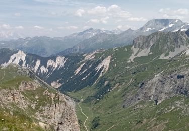
Vue sur le Mont-blanc.
2305m au col de la L’ose.
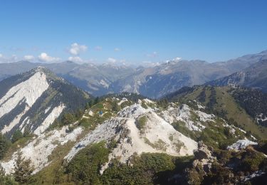
3 km de marche après le téléphérique.
Puis redescend en télé.

Senderismo

Senderismo
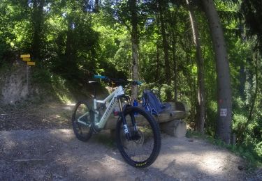
Bici de montaña

Senderismo
Senderismo
Senderismo
Senderismo
Senderismo
Senderismo