


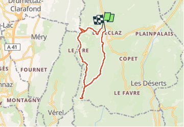

16,6 km | 24 km-effort

Usuario


Aplicación GPS de excursión GRATIS
 SityTrail
IGN / Institutos geográficos
SityTrail World
El mundo es suyo
Ruta Raquetas de nieve de 11,5 km a descubrir en Auvergne-Rhône-Alpes, Saboya, Les Déserts. Esta ruta ha sido propuesta por mzonzon05.
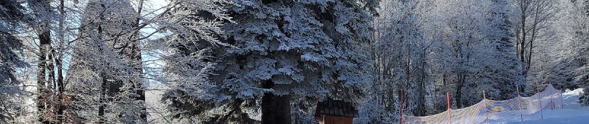
Très jolie boucle faciile et agréable. Début de l'hiver avec les premières neiges. Du monde mais pas trop pour ce classique des chambériens.


Senderismo

Senderismo

Senderismo

Senderismo
Senderismo
Senderismo
Senderismo

Senderismo
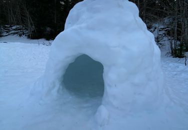
Raquetas de nieve