


17,7 km | 19,8 km-effort


Club randonnées SERVON


Aplicación GPS de excursión GRATIS
 SityTrail
IGN / Institutos geográficos
SityTrail World
El mundo es suyo
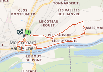
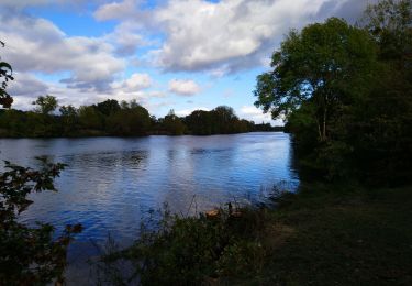
Ruta A pie de 4,7 km a descubrir en Centro, Loir y Cher, Montrichard Val de Cher. Esta ruta ha sido propuesta por Les 1000 pattes.
Parking Rue Guy Mercier près des tennis
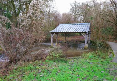
Senderismo
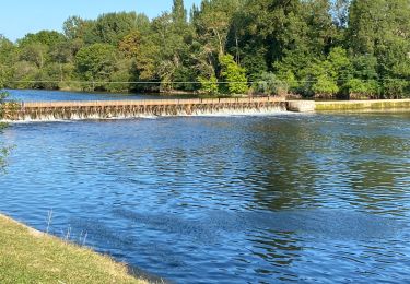
Senderismo
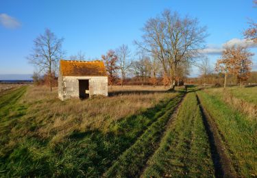
Senderismo
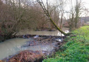
Senderismo
Bici de carretera
Senderismo
Senderismo
Senderismo
Senderismo