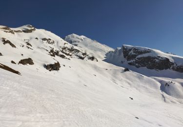
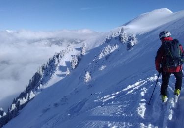
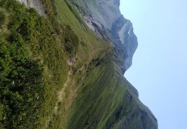
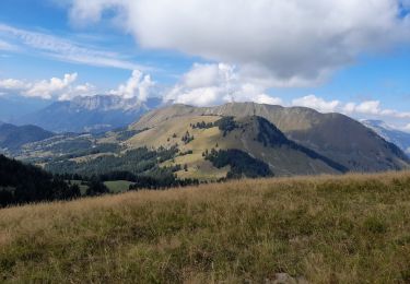
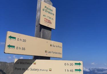
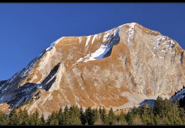
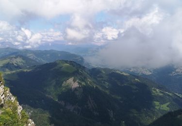
Excursión Senderismo Le Bouchet-Mont-Charvin - Sulens sentier du facteur  - Photo
© OpenStreetMap contributors
Longitud
Longitud
10,2 km
Altitud máxima
Altitud máxima
1824 m
Desnivel positivo
Desnivel positivo
768 m
Km-Effort
Km-Effort  
21 km
Altitud mínima
Altitud mínima
1234 m
Desnivel negativo
Desnivel negativo
775 m
Boucle
Boucle
Fecha de creación :
2022-11-06 07:45:45.36
Última modificación :
2022-11-06 17:49:32.729

(0 Opinión)

Senderismo
Senderismo
4h24
Dificultad : Muy difícil

Escanee este código QR para abrir la excursión en la aplicación SityTrail

Aplicación GPS de excursión GRATIS

Logo SityTrail SityTrail

IGN / Institutos geográficos

Descargar SityTrail en App Store Descargar SityTrail en Google Play

Logo SityTrail SityTrail World

El mundo es suyo

Descargar SityTrail en App Store Descargar SityTrail en Google Play Descargar SityTrail en Huawei AppGallery

A propósito

Ruta Senderismo de 10,2 km a descubrir en Auvergne-Rhône-Alpes, Alta Saboya, Le Bouchet-Mont-Charvin. Esta ruta ha sido propuesta por jcolonnadelega.

Perfil altimétrico

Localización

País:
France
Región :
Auvergne-Rhône-Alpes
Departamento/provincia :
Alta Saboya
Municipio :
Le Bouchet-Mont-Charvin
Localidad:
Unknown
Salida:(UTM)
296292 ; 5076889 (32T) N.

Excursiones cerca

Excursión Esquí de fondo Le Bouchet-Mont-Charvin - Dôme de Pouilly et col de Tulle - Photo
Esquí de fondo
GUIDE
nadd73

Esquí de fondo

Fácil
Le Bouchet-Mont-Charvin, Auvergne-Rhône-Alpes, Alta Saboya, France
9,1 km | 24 km-effort
3h 32min
Excursión Esquí de fondo Les Clefs - Col sud de la Tournette - Photo
Esquí de fondo
GUIDE
nadd73

Esquí de fondo

Medio
Les Clefs, Auvergne-Rhône-Alpes, Alta Saboya, France
10,7 km | 28 km-effort
5h 4min
Excursión Esquí de fondo Serraval - Montagne de Sulens couloir Nord ouest - Photo
Esquí de fondo
GUIDE
nadd73

Esquí de fondo

Medio
Serraval, Auvergne-Rhône-Alpes, Alta Saboya, France
12,2 km | 29 km-effort
5h 25min
Excursión Senderismo Ugine - la Gouenne, la rouelle, la tête de l'aupt - Photo
Senderismo
GUIDE
nadd73

Senderismo

Difícil
Ugine, Auvergne-Rhône-Alpes, Saboya, France
7,8 km | 19,8 km-effort
5h 25min
Excursión Senderismo Le Bouchet-Mont-Charvin - Lac Charvin - Photo
Senderismo
castellas83

Senderismo

Difícil
(1)
Le Bouchet-Mont-Charvin, Auvergne-Rhône-Alpes, Alta Saboya, France
3,7 km | 10,7 km-effort
2h 15min
No
Excursión Senderismo Manigod - ARAVIS: POINTE D'ORSIERE VARIANTE - Photo
Senderismo
djeepee74

Senderismo

Medio
Manigod, Auvergne-Rhône-Alpes, Alta Saboya, France
11 km | 21 km-effort
4h 9min
Excursión Senderismo Manigod - ARAVIS: POINTE D'ORSIERE - Photo
Senderismo
djeepee74

Senderismo

Difícil
Manigod, Auvergne-Rhône-Alpes, Alta Saboya, France
12 km | 23 km-effort
4h 19min
Excursión Senderismo Le Bouchet-Mont-Charvin - Aulp de Marlens - Photo
Senderismo
flip38

Senderismo

Difícil
Le Bouchet-Mont-Charvin, Auvergne-Rhône-Alpes, Alta Saboya, France
17,1 km | 31 km-effort
5h 26min
Excursión Senderismo Manigod - Lac Charvin - Photo
Senderismo
Hugues Michel

Senderismo

Difícil
Manigod, Auvergne-Rhône-Alpes, Alta Saboya, France
11,7 km | 23 km-effort
3h 54min


Cerrar
Mis suscripciones