


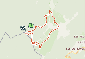

8,9 km | 17,3 km-effort

Usuario


Aplicación GPS de excursión GRATIS
 SityTrail
IGN / Institutos geográficos
SityTrail World
El mundo es suyo
Ruta Senderismo de 8,8 km a descubrir en Auvergne-Rhône-Alpes, Isère, Saint-Pierre-de-Chartreuse. Esta ruta ha sido propuesta por Atchoum26.
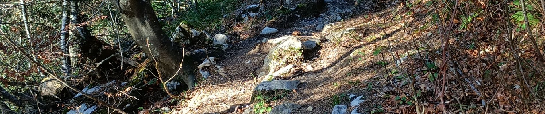
Un passage un peu raide sur les derniers mètres mais bien. Rando faite avec des enfants entre 7 et 13 ans


Senderismo

Senderismo

Senderismo

Senderismo

Esquí de fondo

Senderismo

Esquí de fondo

Senderismo

Bici de montaña