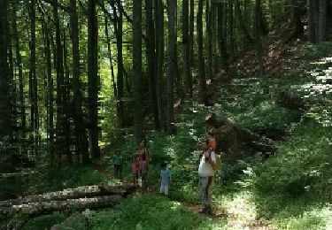
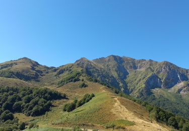
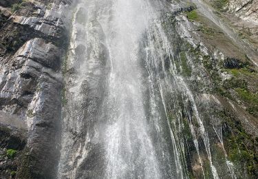
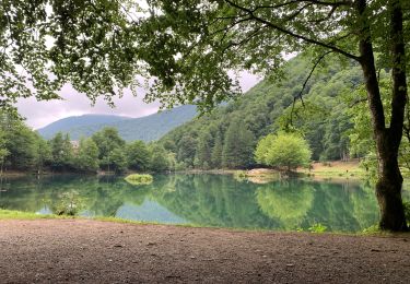
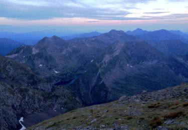
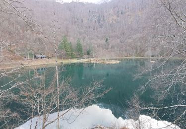
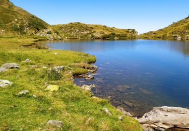
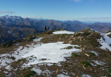
Excursión Senderismo Bethmale - Pyrénées-140903 - CapBouirex - Photo

Pyrénées-140903 - CapBouirex

 randodan
randodan

Usuario

© OpenStreetMap contributors
Longitud
Longitud
4,8 km
Altitud máxima
Altitud máxima
1859 m
Desnivel positivo
Desnivel positivo
455 m
Km-Effort
Km-Effort  
10,9 km
Altitud mínima
Altitud mínima
1390 m
Desnivel negativo
Desnivel negativo
460 m
Boucle
Boucle
Fecha de creación :
2014-12-10 00:00:00.0
Última modificación :
2014-12-10 00:00:00.0

(0 Opinión)

Senderismo
Senderismo
5h15
Dificultad : Difícil

Escanee este código QR para abrir la excursión en la aplicación SityTrail

Aplicación GPS de excursión GRATIS

Logo SityTrail SityTrail

IGN / Institutos geográficos

Descargar SityTrail en App Store Descargar SityTrail en Google Play

Logo SityTrail SityTrail World

El mundo es suyo

Descargar SityTrail en App Store Descargar SityTrail en Google Play Descargar SityTrail en Huawei AppGallery

A propósito

Ruta Senderismo de 4,8 km a descubrir en Occitania, Ariège, Bethmale. Esta ruta ha sido propuesta por randodan.

Perfil altimétrico

Fotos

Puntos de interés

Punto de interés Sentenac-d'Oust - 02 - Plus très loin du sommet, un petit groupe de chèvres - Photo
randodan
Punto de interés Sentenac-d'Oust - 04 - La descente, tout droit,  - Photo
randodan
Punto de interés Sentenac-d'Oust - 05 - comment se calcule une pente : - Photo
randodan

Localización

País:
France
Región :
Occitania
Departamento/provincia :
Ariège
Municipio :
Bethmale
Localidad:
Unknown
Salida:(Dec)
Salida:(UTM)
345199 ; 4746903 (31T) N.

Excursiones cerca

Excursión Senderismo Bethmale - Bethmale - Photo
Senderismo
Gepeto_22

Senderismo

Medio
(2)
Bethmale, Occitania, Ariège, France
5,4 km | 8,8 km-effort
2h 20min
Excursión Senderismo Bethmale -  Circuit des cinq étangs (2237m) - Photo
Senderismo
tigrou31

Senderismo

Difícil
(3)
Bethmale, Occitania, Ariège, France
18,1 km | 33 km-effort
Desconocido
Excursión Senderismo Bethmale - Cap de Bouirex - Photo
Senderismo
counoise

Senderismo

Difícil
Bethmale, Occitania, Ariège, France
8,8 km | 16,1 km-effort
3h 18min
Excursión Senderismo Seix - 2022 TRANSPYRÉNÉENNE : 6ème etape : Refuge d’Esbints - cabane Aula - Photo
Senderismo
LEGUE

Senderismo

Muy difícil
Seix, Occitania, Ariège, France
23 km | 38 km-effort
6h 18min
No
Excursión Senderismo Bethmale - Col de la core  - Photo
Senderismo
GUIDE
viaul

Senderismo

Difícil
Bethmale, Occitania, Ariège, France
15,6 km | 27 km-effort
5h 43min
Excursión A pie Bethmale - Grand circuit dans la Réserve Naturelle du Mont Valier - Photo
A pie
GUIDE+

A pie

Fácil
Bethmale, Occitania, Ariège, France
9,5 km | 19,6 km-effort
4h 26min
No
Excursión Senderismo Bethmale - refuge Salvador - Photo
Senderismo
chrisgps

Senderismo

Muy difícil
Bethmale, Occitania, Ariège, France
16 km | 25 km-effort
5h 46min
Excursión Senderismo Sentenac-d'Oust - 2020-08-25 col de la cor - col d'Auédole - étang d'Ayes - col d'Auédole - étang d'Eychelle - col de la core. - Photo
Senderismo
jacq58

Senderismo

Difícil
(1)
Sentenac-d'Oust, Occitania, Ariège, France
11,4 km | 21 km-effort
4h 16min
Excursión Senderismo Bethmale - cap de l'auternac  en boucle - Photo
Senderismo
chrisgps

Senderismo

Difícil
Bethmale, Occitania, Ariège, France
15 km | 30 km-effort
7h 51min


Cerrar
Mis suscripciones