


 - Photo 21")
 - Photo 22")
 - Photo 23")

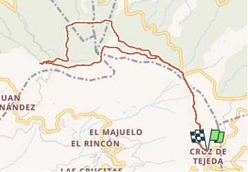
7 km | 12,8 km-effort

Usuario


Aplicación GPS de excursión GRATIS
 SityTrail
IGN / Institutos geográficos
SityTrail World
El mundo es suyo
Ruta Senderismo de 7,2 km a descubrir en Canarias, Las Palmas, Tejeda. Esta ruta ha sido propuesta por dauzata.
Départ: Parking du Parador de Cruz de Tejeda
 - Photo 1")
 - Photo 2")
 - Photo 3")
 - Photo 4")
 - Photo 5")
 - Photo 6")
 - Photo 7")
 - Photo 8")
 - Photo 9")
 - Photo 10")
 - Photo 11")
 - Photo 12")
 - Photo 13")
 - Photo 14")
 - Photo 15")
 - Photo 16")
 - Photo 17")
 - Photo 18")
 - Photo 19")
 - Photo 20")
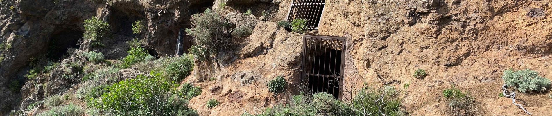
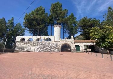
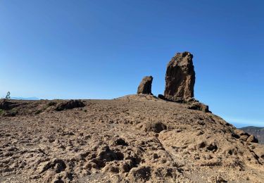
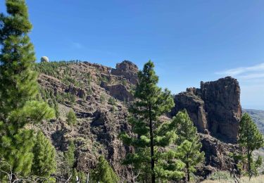
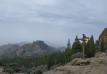
23 fotos en total. Haga clic en una foto para mostrarlas todas en la galería.
Senderismo
Senderismo
Senderismo
Senderismo

Senderismo
Senderismo
Senderismo
Senderismo
Senderismo