


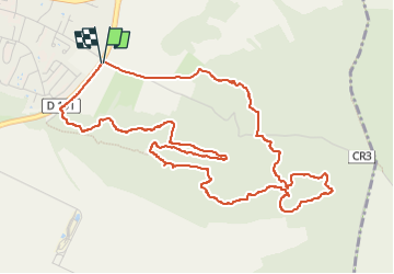


17,7 km | 22 km-effort

Usuario


Aplicación GPS de excursión GRATIS
 SityTrail
IGN / Institutos geográficos
SityTrail World
El mundo es suyo
Ruta Senderismo de 6,2 km a descubrir en Isla de Francia, Essonne, Ballancourt-sur-Essonne. Esta ruta ha sido propuesta por guydu41.
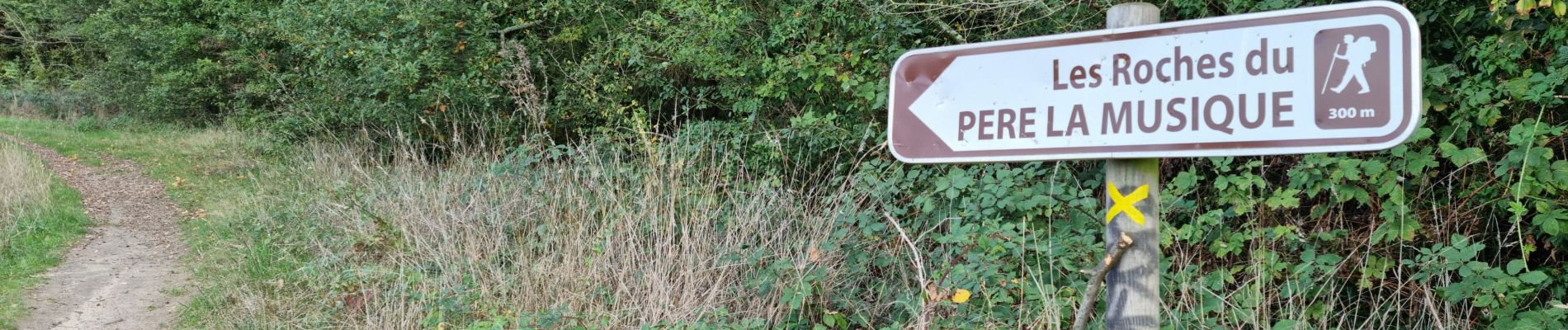
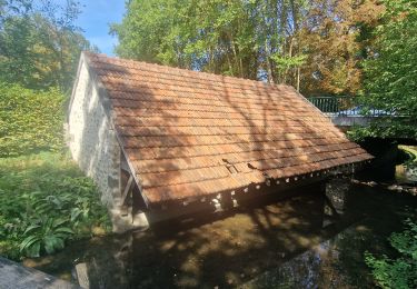
Ce circuit vous fera passer au milieu de plusieurs chaos rocheux, de voir un totem sculpté par un passionné, de longer la base de plusieurs escarpements rocheux avec de nombreuses cavités dont certaines sont explorables, de marcher sur des crêtes rocheuses avec des points de vue impressionnants, d'emprunter de nombreux sentiers étroits et tortueux, de découvrir les roches gravées du Père la Musique, etc.
Parcours exceptionnel.
Mise en garde : Le franchissement de deux crêtes se fait par des passages montants extrêmement pentus dont un très long


69 fotos en total. Haga clic en una foto para mostrarlas todas en la galería.
Senderismo

Senderismo
A pie
Senderismo
Senderismo

Senderismo
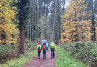
Senderismo

Senderismo
Senderismo