


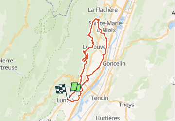

9,1 km | 18,6 km-effort


Usuario


Aplicación GPS de excursión GRATIS
 SityTrail
IGN / Institutos geográficos
SityTrail World
El mundo es suyo
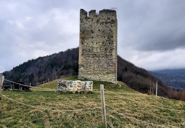
Ruta Bici de montaña de 28 km a descubrir en Auvergne-Rhône-Alpes, Isère, Lumbin. Esta ruta ha sido propuesta por jm.lemore.
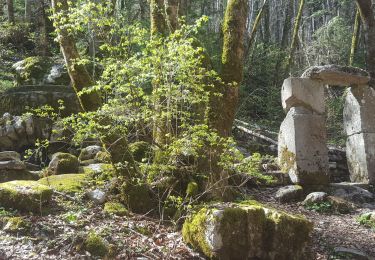
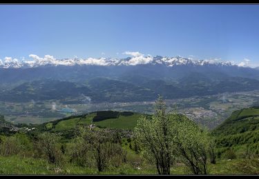
belle ballade, de beaux points de vue sur la vallée.
Quelques passages un peu technique.
agréable en VTTAE.
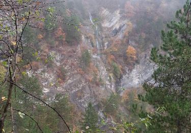
Senderismo

Senderismo

Senderismo
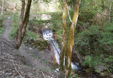
Senderismo
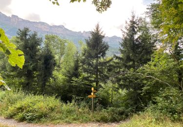
Senderismo
Senderismo
Senderismo
Senderismo
Senderismo