


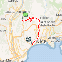

7,5 km | 12 km-effort

Usuario


Aplicación GPS de excursión GRATIS
 SityTrail
IGN / Institutos geográficos
SityTrail World
El mundo es suyo
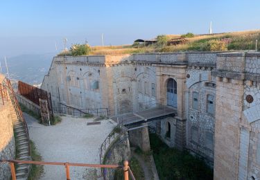
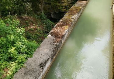
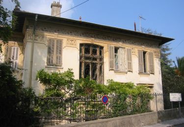
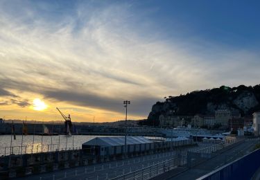
Ruta Carrera de 18,7 km a descubrir en Provenza-Alpes-Costa Azul, Alpes Marítimos, Niza. Esta ruta ha sido propuesta por kenhava.
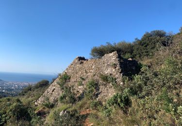
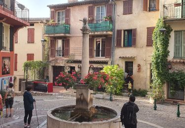
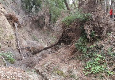
Une course sympathique de l'église St Roman de Bellet via Saint Pancrace, l' Aire St Michel, Gairaut jusqu'à Magnan.Attention, sentier fermé Chemin de l'Ibac Col Garnier mais on passe sans problème (juste un éboulis)


Senderismo
Senderismo
A pie

Carrera
Senderismo
Senderismo
Senderismo
Senderismo
Senderismo