


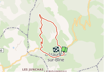

7,9 km | 11,2 km-effort

Usuario GUIDE


Aplicación GPS de excursión GRATIS
 SityTrail
IGN / Institutos geográficos
SityTrail World
El mundo es suyo
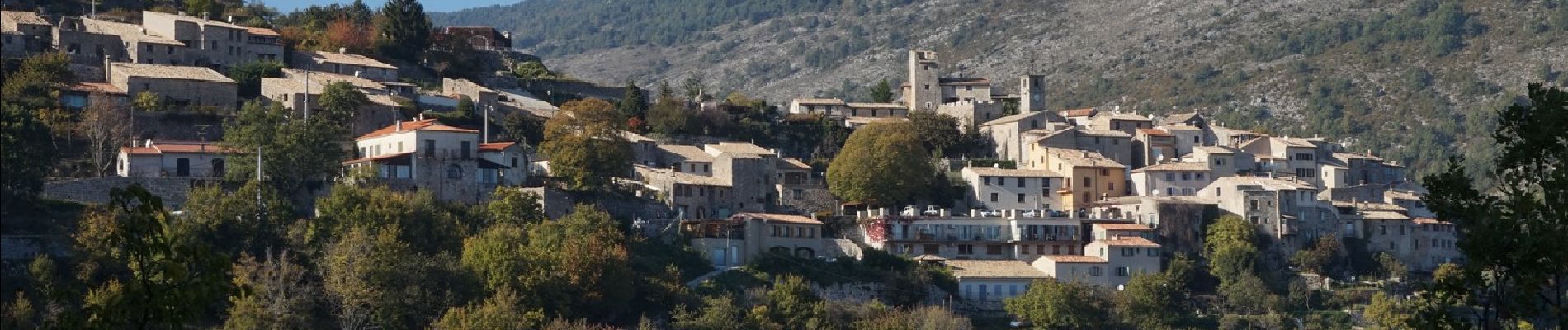
Ruta Senderismo de 6,1 km a descubrir en Auvergne-Rhône-Alpes, Drôme, Bézaudun-sur-Bîne. Esta ruta ha sido propuesta por chancha.
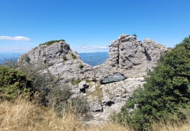
Au pied de la montagne de Couspeau et des Trois-Becs, ce circuit permet de faire le tour du Couguon et de profiter des points de vue dans une nature mêlant les senteurs de lavande, de genêt et de thym.


Senderismo

Senderismo

Senderismo

Senderismo

Bici de carretera

Senderismo

Senderismo

Senderismo
Senderismo