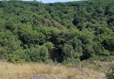
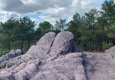
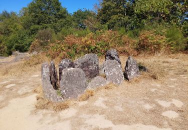
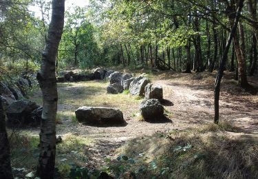
![](/images/other/stat-length.png)
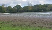
![Excursión Senderismo Mauron - GR_37_CF_40_Mauron_Taupont_20220925 - Photo](https://media.geolcdn.com/t/1900/400/5934c0c6-bee8-44fc-9fe2-148a0c004337.jpg&format=pjpeg&maxdim=2)
GR_37_CF_40_Mauron_Taupont_20220925
patrickdanilo
Usuario
![Longitud](/images/other/stat-length.png)
Longitud
22 km
![Altitud máxima](https://static1.geolcdn.com/siteimages/upload/files/1508320355ic_sort_altitude_max_24dp.png)
Altitud máxima
114 m
![Desnivel positivo](https://static1.geolcdn.com/siteimages/upload/files/1508320355ic_sort_den_pos_24dp.png)
Desnivel positivo
206 m
![Km-Effort](/images/other/stat-length.png)
Km-Effort
25 km
![Altitud mínima](https://static1.geolcdn.com/siteimages/upload/files/1508320355ic_sort_altitude_min_24dp.png)
Altitud mínima
32 m
![Desnivel negativo](https://static1.geolcdn.com/siteimages/upload/files/1508320355ic_sort_den_neg_24dp.png)
Desnivel negativo
247 m
![Boucle](https://static1.geolcdn.com/siteimages/upload/files/16400158638029165_repeat_loop_refresh_sync_direction_icon.png)
Boucle
No
Fecha de creación :
2022-09-25 08:01:29.64
Última modificación :
2022-09-26 10:03:11.085
![Senderismo](https://static1.geolcdn.com/sitytour/trail-icons/101.png)
4h47
Dificultad : Muy fácil
![Escanee este código QR para abrir la excursión en la aplicación SityTrail](https://capi.geolives.com/qq0zvz2zws4bq2lad0pu/sitytour/trails/3403296/qr.png?size=200)
Aplicación GPS de excursión GRATIS
A propósito
Ruta Senderismo de 22 km a descubrir en Bretaña, Morbihan, Mauron. Esta ruta ha sido propuesta por patrickdanilo.
Descripción
Randonnée Marche de 22 km à découvrir à Bretagne, Morbihan, Mauron. Cette randonnée est proposée par patrickdanilo.
Localización
País:
France
Región :
Bretaña
Departamento/provincia :
Morbihan
Municipio :
Mauron
Localidad:
Unknown
Salida:(Dec)
Salida:(UTM)
549759 ; 5321418 (30U) N.
Comentarios
Excursiones cerca
![Excursión Paseo ecuestre Néant-sur-Yvel - Broceliande - Photo](https://media.geolcdn.com/t/375/260/203abf06-19c3-4c8f-9ce2-990712cb0787.jpg&format=jpg&maxdim=2)
![Paseo ecuestre Paseo ecuestre](https://static1.geolcdn.com/sitytour/trail-icons/301.png)
Broceliande
Paseo ecuestre
Medio
(1)
Néant-sur-Yvel,
Bretaña,
Morbihan,
France
![](/images/other/stat-length.png)
22 km | 26 km-effort
4h 46min
![](https://static1.geolcdn.com/siteimages/upload/files/16400158638029165_repeat_loop_refresh_sync_direction_icon.png)
Sí
![Excursión Senderismo Tréhorenteuc - les landes de Gurwant et le Val sans retour - Photo](https://media.geolcdn.com/t/375/260/8ebdb65c-0df1-4e76-a908-0321b1ff5945.jpg&format=jpg&maxdim=2)
![Senderismo Senderismo](https://static1.geolcdn.com/sitytour/trail-icons/101.png)
les landes de Gurwant et le Val sans retour
Senderismo
Fácil
Tréhorenteuc,
Bretaña,
Morbihan,
France
![](/images/other/stat-length.png)
14,9 km | 18,2 km-effort
4h 46min
![](https://static1.geolcdn.com/siteimages/upload/files/16400158638029165_repeat_loop_refresh_sync_direction_icon.png)
Sí
![Excursión Senderismo Tréhorenteuc - Tréhorenteuc - Photo](https://media.geolcdn.com/t/375/260/d78e64c2-e4c4-446d-80e9-2d94e7737353.jpg&format=jpg&maxdim=2)
![Senderismo Senderismo](https://static1.geolcdn.com/sitytour/trail-icons/101.png)
![Excursión Senderismo Tréhorenteuc - Broceliande - Photo](https://media.geolcdn.com/t/375/260/81018fdd-76b5-4b1a-8652-c9a532731623.jpg&format=jpg&maxdim=2)
![Senderismo Senderismo](https://static1.geolcdn.com/sitytour/trail-icons/101.png)
Broceliande
Senderismo
Medio
Tréhorenteuc,
Bretaña,
Morbihan,
France
![](/images/other/stat-length.png)
72 km | 85 km-effort
4h 45min
![](https://static1.geolcdn.com/siteimages/upload/files/16400158638029165_repeat_loop_refresh_sync_direction_icon.png)
No
![Excursión Senderismo Néant-sur-Yvel - TUMULUS DU JARDIN AUX MOINES (9/20) - Photo](https://media.geolcdn.com/t/375/260/7bb9903b-d90a-4ad2-bb6c-2c00df8bd974.jpg&format=jpg&maxdim=2)
![Senderismo Senderismo](https://static1.geolcdn.com/sitytour/trail-icons/101.png)
TUMULUS DU JARDIN AUX MOINES (9/20)
Senderismo
Medio
Néant-sur-Yvel,
Bretaña,
Morbihan,
France
![](/images/other/stat-length.png)
11,7 km | 14,2 km-effort
3h 30min
![](https://static1.geolcdn.com/siteimages/upload/files/16400158638029165_repeat_loop_refresh_sync_direction_icon.png)
Sí
![Excursión Senderismo Néant-sur-Yvel - Autour des étangs à partir du gîte de tante Phonsine - Photo](https://media.geolcdn.com/t/375/260/c9087903-e076-4035-95d3-8fbe645b66c6.jpg&format=jpg&maxdim=2)
![Senderismo Senderismo](https://static1.geolcdn.com/sitytour/trail-icons/101.png)
Autour des étangs à partir du gîte de tante Phonsine
Senderismo
Medio
Néant-sur-Yvel,
Bretaña,
Morbihan,
France
![](/images/other/stat-length.png)
4 km | 4,9 km-effort
1h 0min
![](https://static1.geolcdn.com/siteimages/upload/files/16400158638029165_repeat_loop_refresh_sync_direction_icon.png)
Sí
![Excursión Caballo Mauron - Forêt et Pivolet - Mauron - Photo](https://media.geolcdn.com/t/375/260/ext.jpg?maxdim=2&url=https%3A%2F%2Fservices.sitytrail.com%2FGeolivesWS%2FDownloadMedia.ashx%3FTrailID%3D317519%26Media%3D16760_5.jpg)
![Caballo Caballo](https://static1.geolcdn.com/sitytour/trail-icons/300.png)
Forêt et Pivolet - Mauron
Caballo
Medio
Mauron,
Bretaña,
Morbihan,
France
![](/images/other/stat-length.png)
12,8 km | 15,3 km-effort
1h 30min
![](https://static1.geolcdn.com/siteimages/upload/files/16400158638029165_repeat_loop_refresh_sync_direction_icon.png)
No
![Excursión Senderismo Tréhorenteuc - Le val sans retour - Tréhorenteuc - Photo](https://media.geolcdn.com/t/375/260/ext.jpg?maxdim=2&url=https%3A%2F%2Fservices.sitytrail.com%2FGeolivesWS%2FDownloadMedia.ashx%3FTrailID%3D112815%26Media%3D12508_6.jpg)
![Senderismo Senderismo](https://static1.geolcdn.com/sitytour/trail-icons/101.png)
Le val sans retour - Tréhorenteuc
Senderismo
Medio
Tréhorenteuc,
Bretaña,
Morbihan,
France
![](/images/other/stat-length.png)
8,3 km | 10,1 km-effort
2h 4min
![](https://static1.geolcdn.com/siteimages/upload/files/16400158638029165_repeat_loop_refresh_sync_direction_icon.png)
Sí
![Excursión Senderismo Tréhorenteuc - 35_Brocéliande_val-sans-retour_4kmd70m - Photo](https://media.geolcdn.com/t/375/260/1b8f47ee-d440-442a-bc70-094f4feeb93a.jpg&format=jpg&maxdim=2)
![Senderismo Senderismo](https://static1.geolcdn.com/sitytour/trail-icons/101.png)
35_Brocéliande_val-sans-retour_4kmd70m
Senderismo
Muy fácil
Tréhorenteuc,
Bretaña,
Morbihan,
France
![](/images/other/stat-length.png)
4,3 km | 5,2 km-effort
1h 27min
![](https://static1.geolcdn.com/siteimages/upload/files/16400158638029165_repeat_loop_refresh_sync_direction_icon.png)
Sí