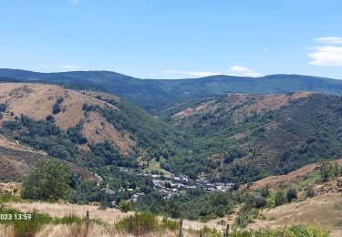
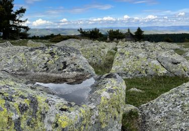
38 km | 47 km-effort
2022-09-23 Rando CVA Lozere Chalet Mont Lozere vers Laubert
holtzv
Usuario GUIDE
Longitud
31 km
Altitud máxima
1420 m
Desnivel positivo
735 m
Km-Effort
42 km
Altitud mínima
882 m
Desnivel negativo
944 m
Boucle
No
Fecha de creación :
2022-09-23 07:27:06.943
Última modificación :
2022-09-26 17:13:43.117
6h33
Dificultad : Medio
Aplicación GPS de excursión GRATIS
A propósito
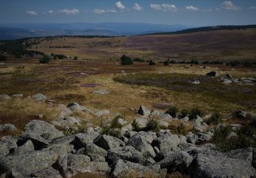
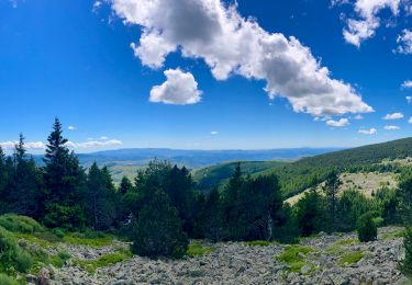
Ruta Paseo ecuestre de 31 km a descubrir en Occitania, Lozère, Cubières. Esta ruta ha sido propuesta por holtzv.
Localización
País:
France
Región :
Occitania
Departamento/provincia :
Lozère
Municipio :
Cubières
Localidad:
Unknown
Salida:(Dec)
Salida:(UTM)
559591 ; 4922402 (31T) N.
Comentarios
Excursiones cerca
Bleymar _ Le Pont Montvert
Senderismo
Difícil
(1)
Mont Lozère et Goulet,
Occitania,
Lozère,
France
22 km | 32 km-effort
5h 19min
No
Chemin de Stevenson - Le Bleymard vers Le Pont de Montvert
Senderismo
Difícil
(1)
Mont Lozère et Goulet,
Occitania,
Lozère,
France
18,9 km | 28 km-effort
4h 30min
No
Stevenson étape 8
Senderismo
Difícil
Mont Lozère et Goulet,
Occitania,
Lozère,
France
20 km | 30 km-effort
5h 29min
No
Le Bleymard_La Crouzette par le chemin Stevenson_10,5Km
Senderismo
Difícil
(1)
Mont Lozère et Goulet,
Occitania,
Lozère,
France
10,6 km | 14,4 km-effort
3h 2min
Sí
sources du tarn
Senderismo
Medio
(1)
Mont Lozère et Goulet,
Occitania,
Lozère,
France
13,3 km | 17,3 km-effort
3h 50min
No
Etape 6 le Bleymard / Pont Montvert
Senderismo
Difícil
Mont Lozère et Goulet,
Occitania,
Lozère,
France
20 km | 29 km-effort
5h 31min
No
ETANG DE BARANDON PAR LA STATION DE SKI
Bici eléctrica
Medio
Cubières,
Occitania,
Lozère,
France
31 km | 36 km-effort
2h 11min
Sí
Fait GTMC 2022 E3 3b
Bici de montaña
Difícil
Mont Lozère et Goulet,
Occitania,
Lozère,
France
51 km | 68 km-effort
7h 43min
No