


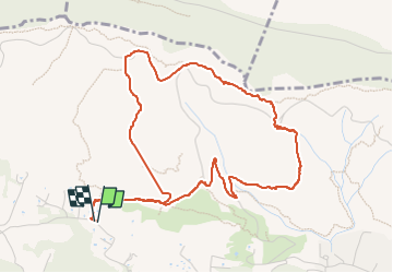

8,7 km | 11,4 km-effort

Usuario


Aplicación GPS de excursión GRATIS
 SityTrail
IGN / Institutos geográficos
SityTrail World
El mundo es suyo
Ruta Senderismo de 5,9 km a descubrir en Provenza-Alpes-Costa Azul, Var, Sanary-sur-Mer. Esta ruta ha sido propuesta por Robertplessier.
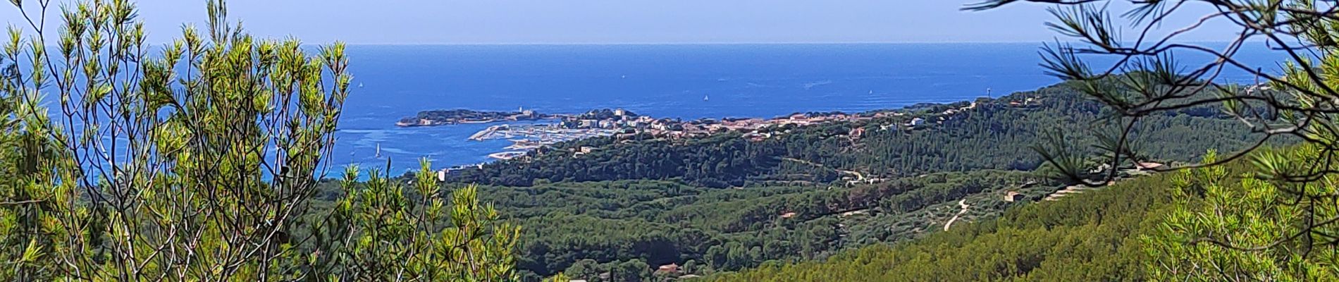
Rando sympa , assez courte , on domine la baie de Bandol, et vue sur le coté Castellet au sommet.


Senderismo

Senderismo

Senderismo

Senderismo

Senderismo

Senderismo
Senderismo

Senderismo
Senderismo