


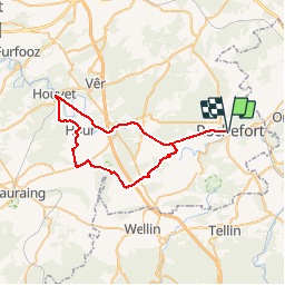


6 km | 7,1 km-effort


Randonnées de la Maison du Tourisme Famenne - Ardenne Ourthe & Lesse PRO


Aplicación GPS de excursión GRATIS
 SityTrail
IGN / Institutos geográficos
SityTrail World
El mundo es suyo
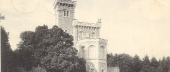
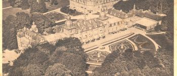
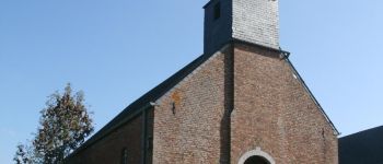
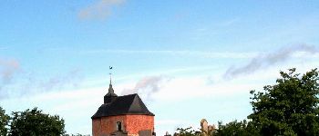
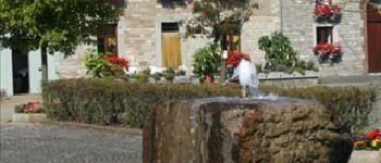
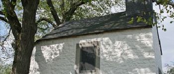
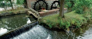
Ruta Bicicleta de 45 km a descubrir en Valonia, Namur, Rochefort. Esta ruta ha sido propuesta por Maison du Tourisme Famenne - Ardenne Ourthe & Lesse.


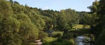
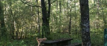
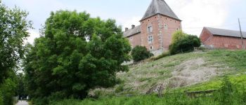
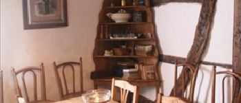
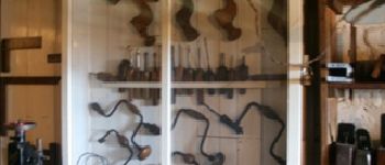
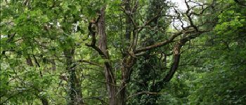
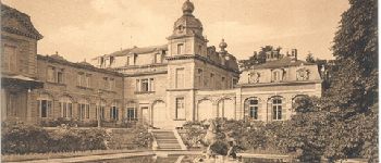
43 fotos en total. Haga clic en una foto para mostrarlas todas en la galería.

Senderismo

Senderismo

Motor

Senderismo

Senderismo

Senderismo

Motor

Senderismo

Senderismo