


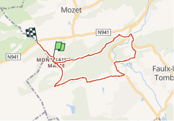

18,3 km | 25 km-effort


Usuario


Aplicación GPS de excursión GRATIS
 SityTrail
IGN / Institutos geográficos
SityTrail World
El mundo es suyo
Ruta Senderismo de 7,9 km a descubrir en Valonia, Namur, Gesves. Esta ruta ha sido propuesta por thomarche.
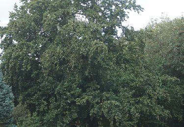
Belle boucle sentiers-chemins-très peu macadam non fréquenté à travers magnifiques bois (très beaux chênes), et belles bâtisses anciennes en pierre. Bcp de chevaux.

Senderismo

Senderismo

Senderismo

Senderismo

Senderismo

Senderismo

Senderismo

Senderismo
Senderismo