


27 km | 30 km-effort

Usuario GUIDE


Aplicación GPS de excursión GRATIS
 SityTrail
IGN / Institutos geográficos
SityTrail World
El mundo es suyo
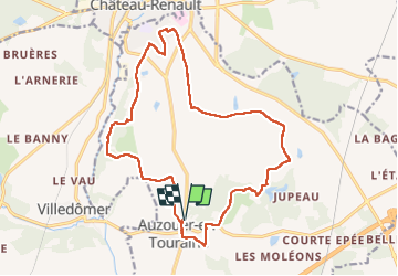
Ruta Senderismo de 18,4 km a descubrir en Centro, Indre y Loira, Auzouer-en-Touraine. Esta ruta ha sido propuesta por Orcal37.
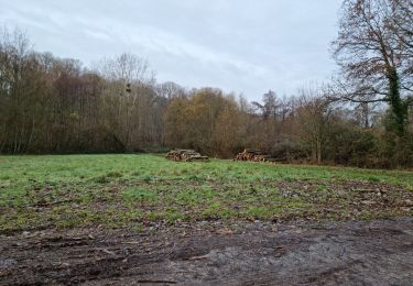
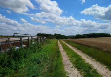
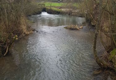
Auzouer-en-Touraine - Circuit Bec Sec variante car passage à travers champs au début de ma trace gps cf photos - 18.4km 220m 4h10 (30mn) - 2022 09 06
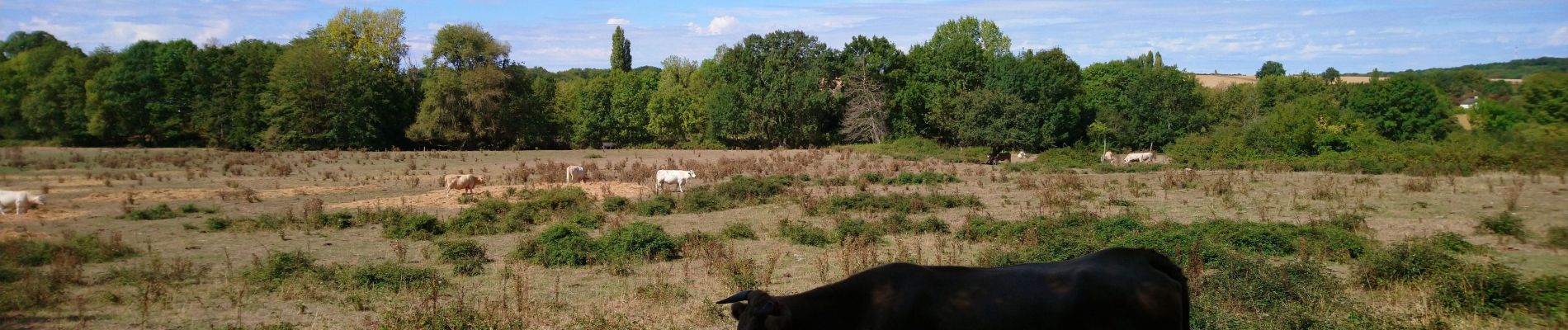
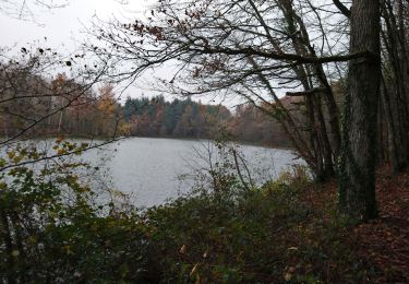
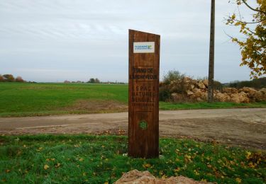
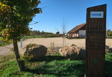
 - 2022 09 06 - Photo 1")
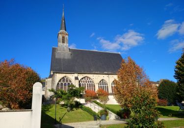
 - 2022 09 06 - Photo 2")
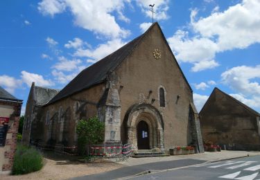
 - 2022 09 06 - Photo 3")
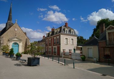
 - 2022 09 06 - Photo 4")
 - 2022 09 06 - Photo 5")
 - 2022 09 06 - Photo 6")
 - 2022 09 06 - Photo 7")
 - 2022 09 06 - Photo 8")
 - 2022 09 06 - Photo 9")
Senderismo
Senderismo
Senderismo
Senderismo
Senderismo
Senderismo
Senderismo
Senderismo
Senderismo