


 - Section 3: Virelles - Olloy-sur-Viroin - Photo 21")
 - Section 3: Virelles - Olloy-sur-Viroin - Photo 22")
 - Section 3: Virelles - Olloy-sur-Viroin - Photo 23")
 - Section 3: Virelles - Olloy-sur-Viroin - Photo 24")


6,5 km | 8,1 km-effort
Randonnées au coeur d'une nature préservée GUIDE+


Aplicación GPS de excursión GRATIS
 SityTrail
IGN / Institutos geográficos
SityTrail World
El mundo es suyo
Ruta Senderismo de 38 km a descubrir en Valonia, Henao, Chimay. Esta ruta ha sido propuesta por La Forêt du Pays de Chimay.
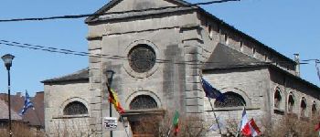
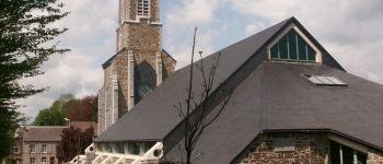
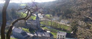
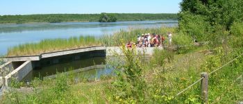
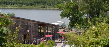
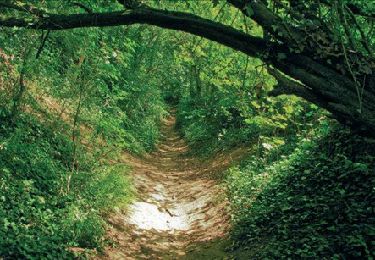
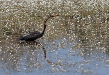
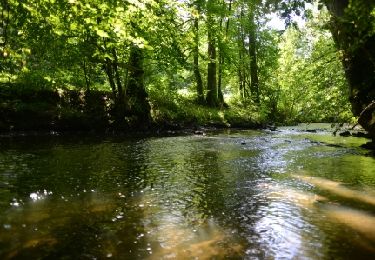
Au départ de la magnifique réserve naturelle de l'Etang de Virelles, vous traverserez ensuite un des plus beaux villages de Wallonie, Lompret.
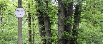
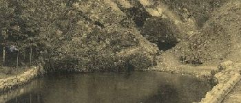
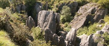
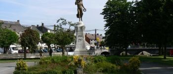
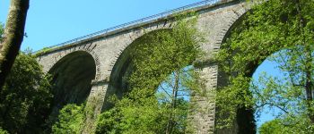
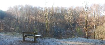
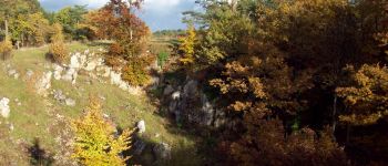
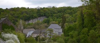
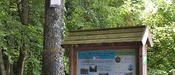
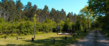
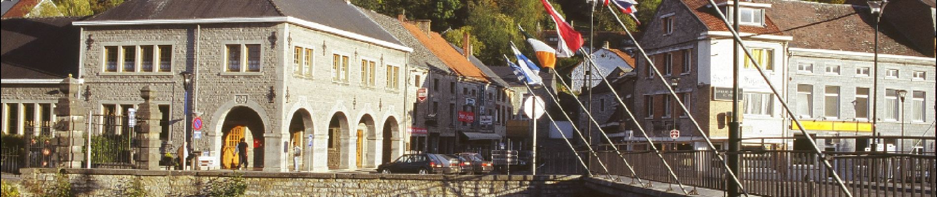
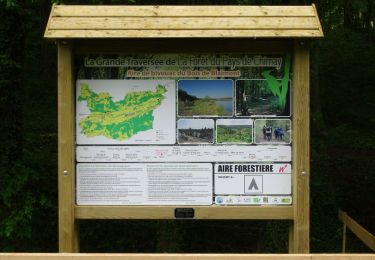
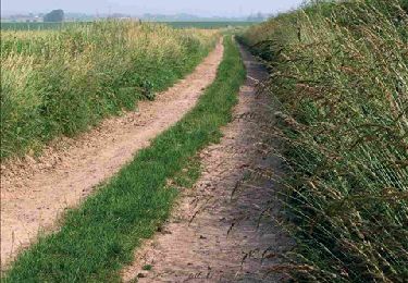
Au delà, la Grande Traversée s'oriente vers de petits chemins et sentiers parcourant un paysage très bocager et vallonné. Vous quittez progressivement la Province de Hainaut pour continuer vers le Namurois, et pourrez découvrir la Calestienne dans la région de Couvin et Viroinval. Ces paysages sont très variés façonnés par les phénomènes géologiques (grottes, falaise, collines,...). Enfin, vous atteindrez les village de Nismes, village touristique aux nombreux atouts et Olloy-sur-Viroin où plusieurs commerces vous permettront de goûter aux saveurs locales. Trois aires de bivouac sont situées sur ce tronçon: le Bivouac du Bois de Blaimont, le Bivouac de Boussu-en-Fagne et le Bivouac de la Roche Trouée.
 - Section 3: Virelles - Olloy-sur-Viroin - Photo 1")
 - Section 3: Virelles - Olloy-sur-Viroin - Photo 2")
 - Section 3: Virelles - Olloy-sur-Viroin - Photo 3")
 - Section 3: Virelles - Olloy-sur-Viroin - Photo 4")
 - Section 3: Virelles - Olloy-sur-Viroin - Photo 5")
 - Section 3: Virelles - Olloy-sur-Viroin - Photo 6")
 - Section 3: Virelles - Olloy-sur-Viroin - Photo 7")
 - Section 3: Virelles - Olloy-sur-Viroin - Photo 8")
 - Section 3: Virelles - Olloy-sur-Viroin - Photo 9")
 - Section 3: Virelles - Olloy-sur-Viroin - Photo 10")
 - Section 3: Virelles - Olloy-sur-Viroin - Photo 11")
 - Section 3: Virelles - Olloy-sur-Viroin - Photo 12")
 - Section 3: Virelles - Olloy-sur-Viroin - Photo 13")
 - Section 3: Virelles - Olloy-sur-Viroin - Photo 14")
 - Section 3: Virelles - Olloy-sur-Viroin - Photo 15")
 - Section 3: Virelles - Olloy-sur-Viroin - Photo 16")
 - Section 3: Virelles - Olloy-sur-Viroin - Photo 17")
 - Section 3: Virelles - Olloy-sur-Viroin - Photo 18")
 - Section 3: Virelles - Olloy-sur-Viroin - Photo 19")
 - Section 3: Virelles - Olloy-sur-Viroin - Photo 20")
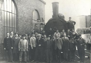
24 fotos en total. Haga clic en una foto para mostrarlas todas en la galería.
Senderismo
Senderismo

Senderismo
Senderismo
Senderismo
Senderismo
Senderismo
Senderismo
Senderismo
Super appli
Belle promenade !
Belle promenade
tres belle randonnee
belle randonnée !