![](/images/other/stat-length.png)
![Excursión Senderismo Landen - La vallée du ruisseau Mombeek : la réserve naturelle De Beemden à Attenhoven - Photo](https://media.geolcdn.com/t/1900/400/0867a30e-1e7f-408e-b385-03c73569b3c8.jpeg&format=pjpeg&maxdim=2)
La vallée du ruisseau Mombeek : la réserve naturelle De Beemden à Attenhoven
Benjamin27
Usuario GUIDE
![Longitud](/images/other/stat-length.png)
![Altitud máxima](https://static1.geolcdn.com/siteimages/upload/files/1508320355ic_sort_altitude_max_24dp.png)
![Desnivel positivo](https://static1.geolcdn.com/siteimages/upload/files/1508320355ic_sort_den_pos_24dp.png)
![Km-Effort](/images/other/stat-length.png)
![Altitud mínima](https://static1.geolcdn.com/siteimages/upload/files/1508320355ic_sort_altitude_min_24dp.png)
![Desnivel negativo](https://static1.geolcdn.com/siteimages/upload/files/1508320355ic_sort_den_neg_24dp.png)
![Boucle](https://static1.geolcdn.com/siteimages/upload/files/16400158638029165_repeat_loop_refresh_sync_direction_icon.png)
![Senderismo](https://static1.geolcdn.com/sitytour/trail-icons/101.png)
47m
Dificultad : Fácil
![Escanee este código QR para abrir la excursión en la aplicación SityTrail](https://capi.geolives.com/qq0zvz2zws4bq2lad0pu/sitytour/trails/3362403/qr.png?size=200)
Aplicación GPS de excursión GRATIS
A propósito
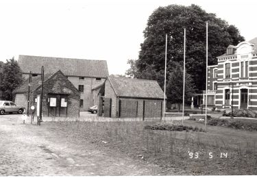
Ruta Senderismo de 3,3 km a descubrir en Flandes, Brabante Flamenco, Landen. Esta ruta ha sido propuesta por Benjamin27.
Descripción
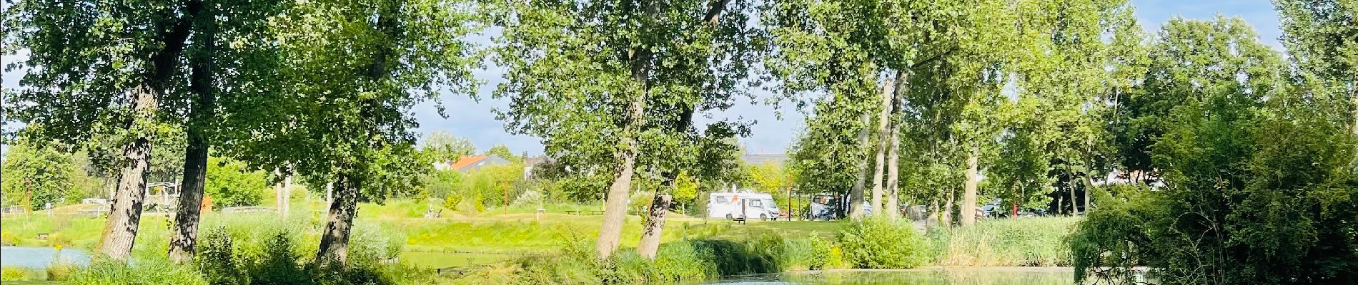
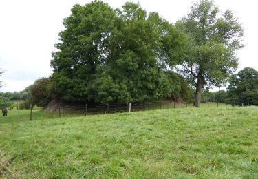
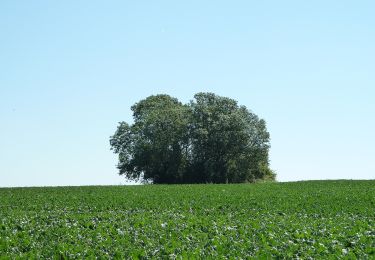
Avec son parc récréatif pour enfants à l’entrée, cette réserve naturelle magnifique vous satisfera à coup sûr ! Composée d’étangs (parfois cachés dans les bois) et d’un ruisseau dans lequel les enfants peuvent aller jouer, c’est l’endroit idéal pour passer un moment en famille et profiter!
👣 Distance : 3,3km - non balisé.
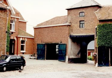
📍Départ : parking café De Rietgors, Attenhovenstraat 207 - 3404 Attenhoven.
🚂🚍 Aller jusqu´à la gare de Landen ou Saint-Trond, prendre le bus DE LIJN 21A jusqu’à l’arrêt « Attenhoven - Kaasstraat » et marcher jusqu’au point de départ.
Localización
Comentarios
Excursiones cerca
![Excursión A pie Sint-Truiden - Staaien oranje bol - Photo](https://media.geolcdn.com/t/375/260/7b137b54-411c-4e68-8c6c-aeb3fad0dd86.jpeg&format=jpg&maxdim=2)
![A pie A pie](https://static1.geolcdn.com/sitytour/trail-icons/100.png)
A pie
![](/images/other/stat-length.png)
![](https://static1.geolcdn.com/siteimages/upload/files/16400158638029165_repeat_loop_refresh_sync_direction_icon.png)
![Excursión A pie Landen - Toegankelijke Zevenbronnenwandeling - Photo](https://media.geolcdn.com/t/375/260/e270a4ca-93be-4e8c-87ad-1e5a316b4c2c.jpeg&format=jpg&maxdim=2)
![A pie A pie](https://static1.geolcdn.com/sitytour/trail-icons/100.png)
A pie
![](/images/other/stat-length.png)
![](https://static1.geolcdn.com/siteimages/upload/files/16400158638029165_repeat_loop_refresh_sync_direction_icon.png)
![Excursión A pie Zoutleeuw - Kempinnewandeling - Photo](https://media.geolcdn.com/t/375/260/fc67a971-5072-4fc1-b052-2b5bd59bf268.jpeg&format=jpg&maxdim=2)
![A pie A pie](https://static1.geolcdn.com/sitytour/trail-icons/100.png)
A pie
![](/images/other/stat-length.png)
![](https://static1.geolcdn.com/siteimages/upload/files/16400158638029165_repeat_loop_refresh_sync_direction_icon.png)
![Excursión A pie Landen - Pepijn wandeling - Photo](https://media.geolcdn.com/t/375/260/04bfadaa-9170-4dac-b8db-21a0ef031509.jpeg&format=jpg&maxdim=2)
![A pie A pie](https://static1.geolcdn.com/sitytour/trail-icons/100.png)
A pie
![](/images/other/stat-length.png)
![](https://static1.geolcdn.com/siteimages/upload/files/16400158638029165_repeat_loop_refresh_sync_direction_icon.png)
![Excursión A pie Zoutleeuw - Panbruggewandeling - Photo](https://media.geolcdn.com/t/375/260/96714c06-dac1-4b7c-b690-c79a4c973766.jpeg&format=jpg&maxdim=2)
![A pie A pie](https://static1.geolcdn.com/sitytour/trail-icons/100.png)
A pie
![](/images/other/stat-length.png)
![](https://static1.geolcdn.com/siteimages/upload/files/16400158638029165_repeat_loop_refresh_sync_direction_icon.png)
![Excursión A pie Landen - Landen - Sint Truiden 19 km - Photo](https://media.geolcdn.com/t/375/260/bf044a6c-6238-4c32-8296-16f7797f4bb6.jpg&format=jpg&maxdim=2)
![A pie A pie](https://static1.geolcdn.com/sitytour/trail-icons/100.png)
A pie
![](/images/other/stat-length.png)
![](https://static1.geolcdn.com/siteimages/upload/files/16400158638029165_repeat_loop_refresh_sync_direction_icon.png)
![Excursión Senderismo Landen - Neerlanden Panbrugge (PVDB) - Photo](https://media.geolcdn.com/t/375/260/49a49a33-c9ef-40ee-aaf2-6a59b37a83cb.jpg&format=jpg&maxdim=2)
![Senderismo Senderismo](https://static1.geolcdn.com/sitytour/trail-icons/101.png)
Senderismo
![](/images/other/stat-length.png)
![](https://static1.geolcdn.com/siteimages/upload/files/16400158638029165_repeat_loop_refresh_sync_direction_icon.png)
![Excursión A pie Landen - Vestenwandeling - Photo](https://media.geolcdn.com/t/375/260/7b550fc9-d54c-4f55-8710-1b4d34ad5942.jpeg&format=jpg&maxdim=2)
![A pie A pie](https://static1.geolcdn.com/sitytour/trail-icons/100.png)
A pie
![](/images/other/stat-length.png)
![](https://static1.geolcdn.com/siteimages/upload/files/16400158638029165_repeat_loop_refresh_sync_direction_icon.png)
![Excursión A pie Gingelom - Zevenbronnenwandeling - Photo](https://media.geolcdn.com/t/375/260/cce0d8a5-eac8-41b0-85bf-74be563b7e67.jpeg&format=jpg&maxdim=2)
![A pie A pie](https://static1.geolcdn.com/sitytour/trail-icons/100.png)
A pie
![](/images/other/stat-length.png)
![](https://static1.geolcdn.com/siteimages/upload/files/16400158638029165_repeat_loop_refresh_sync_direction_icon.png)