


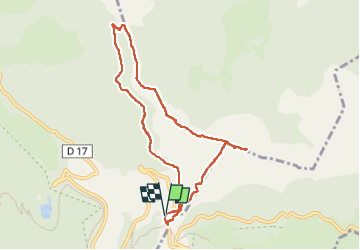

5,4 km | 8,8 km-effort

Usuario


Aplicación GPS de excursión GRATIS
 SityTrail
IGN / Institutos geográficos
SityTrail World
El mundo es suyo
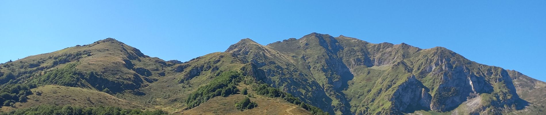
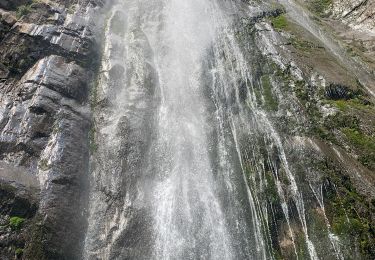
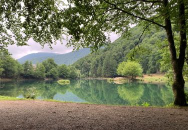
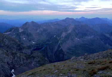
Ruta Senderismo de 8,8 km a descubrir en Occitania, Ariège, Bethmale. Esta ruta ha sido propuesta por counoise.
Randonnée à faire dans le sens anti horaire.
Entre le col de la Core et le col du Bas, le sentier n'est pas balisé : suivre les clôtures.


Senderismo

Senderismo
Senderismo
Senderismo
A pie
Senderismo
Senderismo
Senderismo

Senderismo