


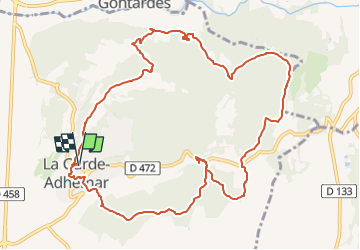


12,6 km | 16,6 km-effort

Usuario GUIDE


Aplicación GPS de excursión GRATIS
 SityTrail
IGN / Institutos geográficos
SityTrail World
El mundo es suyo
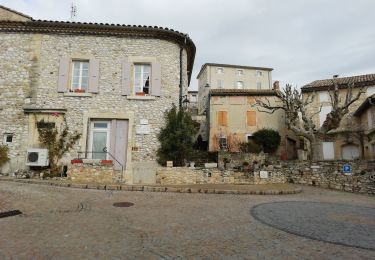
Ruta Senderismo de 12,7 km a descubrir en Auvergne-Rhône-Alpes, Drôme, La Garde-Adhémar. Esta ruta ha sido propuesta por thonyc.
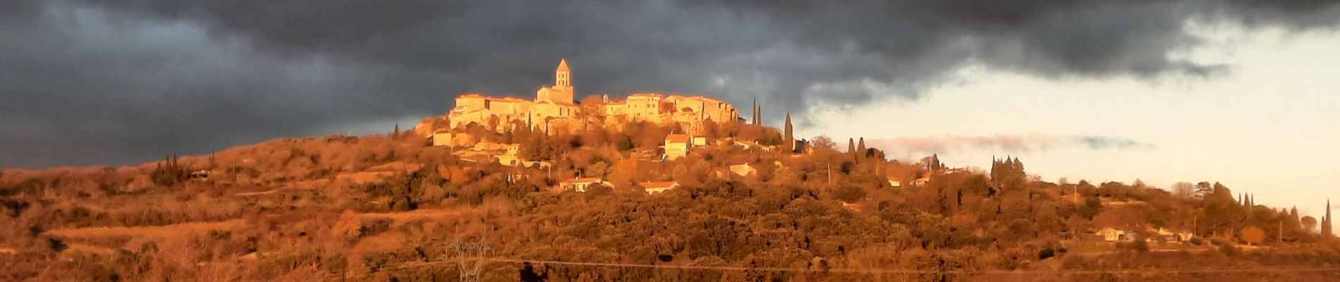
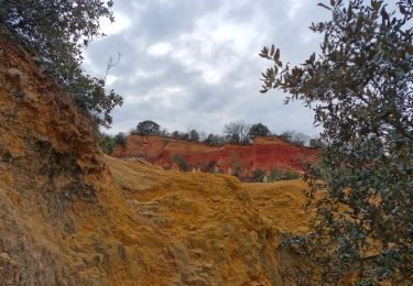
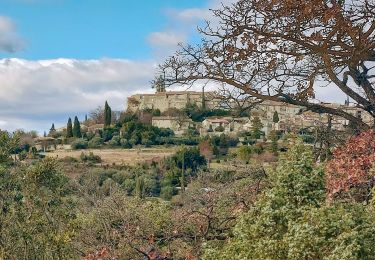
Le village et ses jardins suspendus, le val des nymphes, les cuves lapidaires, les ocres rouges.
Circuit très varié avec beaucoup de curiosités.


Senderismo

Senderismo
Senderismo

Senderismo

Senderismo

Senderismo

Senderismo

Senderismo
Senderismo