


26 km | 34 km-effort
Randonnées de la Grande Forêt de Saint-Hubert GUIDE+


Aplicación GPS de excursión GRATIS
 SityTrail
IGN / Institutos geográficos
SityTrail World
El mundo es suyo
Ruta Senderismo de 6,9 km a descubrir en Valonia, Luxemburgo, Nassogne. Esta ruta ha sido propuesta por La Grande Forêt de Saint-Hubert.
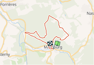
Ce circuit traverse un magnifique massif boisé entre Masbourg, Forrières et Ambly. Ensuite, vous arpenterez des chemins de campagne qui vous offriront un magnifique point de vue du village de Masbourg.
Extrait de la carte des promenades de l'entité de Nassogne (23 promenades balisées - carte topographique 1/25.000 - 7,00 €) disponible à l'Office Communal du Tourisme de l'entité de Nassogne ou à la Maison du Tourisme du Pays de Marche & Nassogne.
Concepteur: Office Communal du Tourisme de l'entité de Nassogne - Rue de Lahaut, 3 - 6950 Nassogne - 32(0)84/22.15.58 - office.tourisme@nassogne.be.
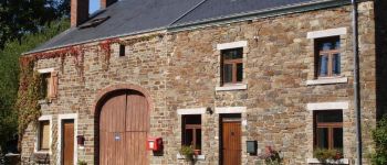
 - Photo 1")
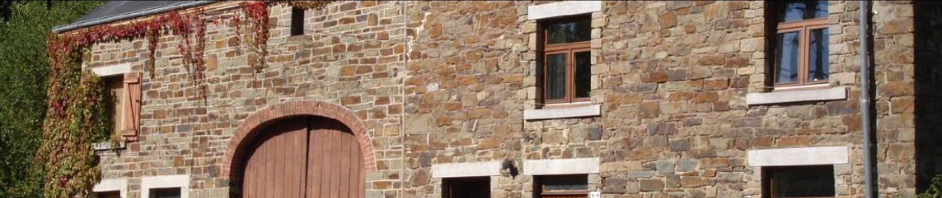
 - Photo 2")
 - Photo 3")

Senderismo

Senderismo

Senderismo

Senderismo

Senderismo

Bici de montaña

Senderismo

Senderismo

Senderismo
Very beautiful! Much variation. A must walk when you are in the area.