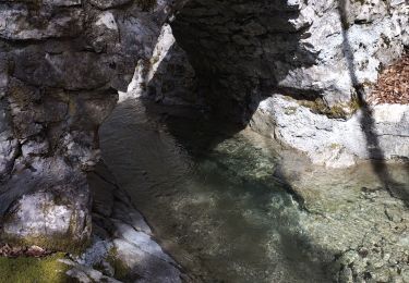
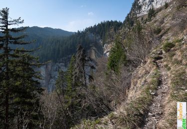
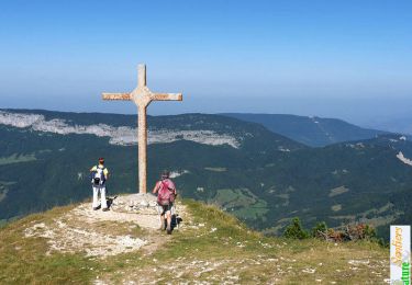
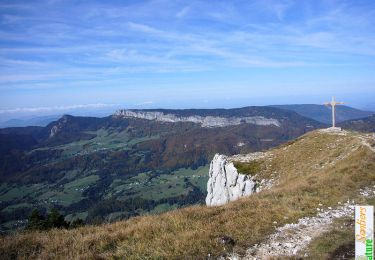
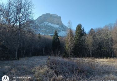
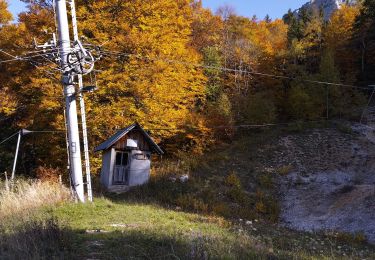
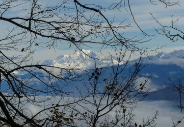
Excursión A pie Chapareillan - Lac-Noir-2022-05-20 - Photo

Une équipe à votre service garant de convivialité et bonne humeur

© OpenStreetMap contributors
Longitud
Longitud
6,1 km
Altitud máxima
Altitud máxima
943 m
Desnivel positivo
Desnivel positivo
324 m
Km-Effort
Km-Effort  
10,5 km
Altitud mínima
Altitud mínima
615 m
Desnivel negativo
Desnivel negativo
322 m
Boucle
Boucle
Fecha de creación :
2022-08-03 12:51:52.809
Última modificación :
2022-08-03 12:51:52.809

(0 Opinión)

A pie
A pie
2h22
Dificultad : Fácil

Escanee este código QR para abrir la excursión en la aplicación SityTrail

Aplicación GPS de excursión GRATIS

Logo SityTrail SityTrail

IGN / Institutos geográficos

Descargar SityTrail en App Store Descargar SityTrail en Google Play

Logo SityTrail SityTrail World

El mundo es suyo

Descargar SityTrail en App Store Descargar SityTrail en Google Play Descargar SityTrail en Huawei AppGallery

A propósito

Ruta A pie de 6,1 km a descubrir en Auvergne-Rhône-Alpes, Isère, Chapareillan. Esta ruta ha sido propuesta por mini balades Adapar.

Perfil altimétrico

Localización

País:
France
Región :
Auvergne-Rhône-Alpes
Departamento/provincia :
Isère
Municipio :
Chapareillan
Localidad:
Unknown
Salida:(Dec)
Salida:(UTM)
730402 ; 5040641 (31T) N.

Excursiones cerca

Excursión Senderismo Apremont - Mont Joigny, pte de la Georgat, la Lentille, le GD Carroz - Photo
Senderismo
GUIDE
nadd73

Senderismo

Fácil
(1)
Apremont, Auvergne-Rhône-Alpes, Saboya, France
12,7 km | 23 km-effort
4h 3min
Excursión Senderismo Chapareillan - Le Mont Granier 1933m, depuis Bellecombe - Photo
Senderismo
tracegps

Senderismo

Difícil
(1)
Chapareillan, Auvergne-Rhône-Alpes, Isère, France
14,8 km | 35 km-effort
8h 45min
Excursión Senderismo Entremont-le-Vieux - Le Mont Granier par la cheminée de Tencovaz - Photo
Senderismo
tracegps

Senderismo

Difícil
(3)
Entremont-le-Vieux, Auvergne-Rhône-Alpes, Saboya, France
9,6 km | 24 km-effort
5h 0min
Excursión Senderismo Chapareillan - Le Granier 1933m, par les pas de la Porte et de Bellecombe - Photo
Senderismo
tracegps

Senderismo

Difícil
(1)
Chapareillan, Auvergne-Rhône-Alpes, Isère, France
13,2 km | 30 km-effort
7h 30min
Excursión Senderismo Porte-de-Savoie - lac noir - Photo
Senderismo
Thomasp

Senderismo

Medio
(1)
Porte-de-Savoie, Auvergne-Rhône-Alpes, Saboya, France
15,8 km | 22 km-effort
5h 9min
Excursión Senderismo Entremont-le-Vieux - Le Granier par Tencovaz - Photo
Senderismo
GUIDE
nadd73

Senderismo

Difícil
Entremont-le-Vieux, Auvergne-Rhône-Alpes, Saboya, France
10,9 km | 27 km-effort
4h 46min
Excursión Senderismo Barraux - La Cascade du Furet et Bellecombe - Photo
Senderismo
GuyVachet

Senderismo

Muy difícil
Barraux, Auvergne-Rhône-Alpes, Isère, France
13,2 km | 22 km-effort
5h 0min
Excursión Senderismo Entremont-le-Vieux - la Plagne le Pinet :en boucle partielle à  partir de la bifurcation GR9 et montée au Pinet - Photo
Senderismo
Valgaudemar

Senderismo

Medio
Entremont-le-Vieux, Auvergne-Rhône-Alpes, Saboya, France
12,9 km | 24 km-effort
3h 39min
Excursión Senderismo Entremont-le-Vieux - 29 juillet 2023 mont Pinet et rocher de la Fita  - Photo
Senderismo
Parodie69

Senderismo

Muy difícil
Entremont-le-Vieux, Auvergne-Rhône-Alpes, Saboya, France
15 km | 27 km-effort
6h 2min


Cerrar
Mis suscripciones