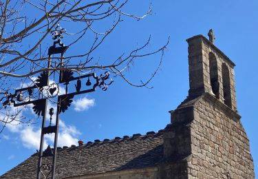
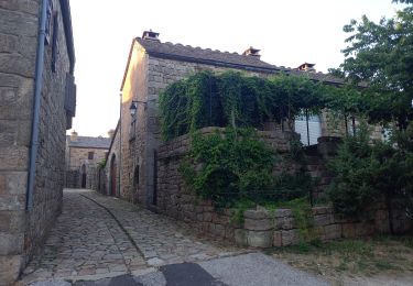
25 km | 36 km-effort
eau
Cathy del vecchio
Usuario
Longitud
34 km
Altitud máxima
443 m
Desnivel positivo
577 m
Km-Effort
43 km
Altitud mínima
171 m
Desnivel negativo
720 m
Boucle
No
Fecha de creación :
2022-08-01 09:59:33.785
Última modificación :
2022-08-01 20:59:08.289
6h21
Dificultad : Muy difícil
Aplicación GPS de excursión GRATIS
A propósito
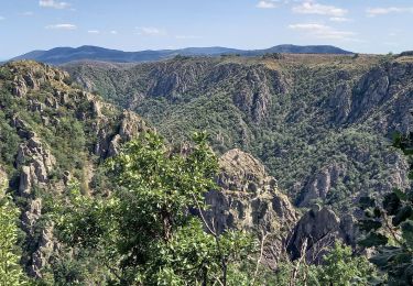
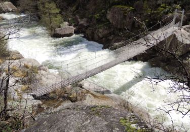
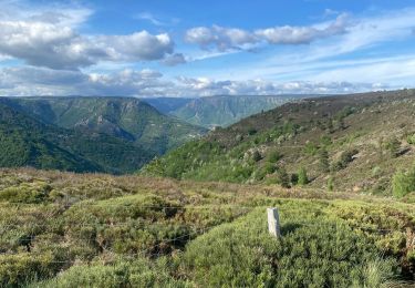
Ruta Senderismo de 34 km a descubrir en Occitania, Lozère, Pied-de-Borne. Esta ruta ha sido propuesta por Cathy del vecchio.
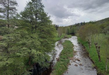
Localización
País:
France
Región :
Occitania
Departamento/provincia :
Lozère
Municipio :
Pied-de-Borne
Localidad:
Unknown
Salida:(Dec)
Salida:(UTM)
577454 ; 4925300 (31T) N.
Comentarios
Excursiones cerca
GRP Tour du Chassezac en 2 jours
Senderismo
Difícil
Pied-de-Borne,
Occitania,
Lozère,
France
6h 50min
No
au coeur des gorges du chassezac au départ de Villefort
Senderismo
Difícil
Pourcharesses,
Occitania,
Lozère,
France
17,6 km | 28 km-effort
7h 12min
Sí
Gorges de Chassezac
Senderismo
Difícil
Prévenchères,
Occitania,
Lozère,
France
19 km | 30 km-effort
7h 33min
Sí
Le tour du Chassezac
Senderismo
Muy difícil
Pied-de-Borne,
Occitania,
Lozère,
France
49 km | 72 km-effort
37h 28min
Sí
Le tour du chassezac
Senderismo
Muy difícil
Pied-de-Borne,
Occitania,
Lozère,
France
49 km | 72 km-effort
16h 34min
Sí
La garde guerin
Senderismo
Muy fácil
Prévenchères,
Occitania,
Lozère,
France
6,1 km | 7,4 km-effort
1h 39min
Sí
Gorges du Chassezac au départ de la Garde guérin
Senderismo
Difícil
Prévenchères,
Occitania,
Lozère,
France
10 km | 17,2 km-effort
4h 3min
Sí
La Garde Guerin
Senderismo
Muy difícil
Prévenchères,
Occitania,
Lozère,
France
12,4 km | 21 km-effort
5h 5min
Sí
tour du lac de Villefort et chapelle Saint Loup.
Senderismo
Fácil
Pourcharesses,
Occitania,
Lozère,
France
9 km | 12,8 km-effort
3h 53min
No