


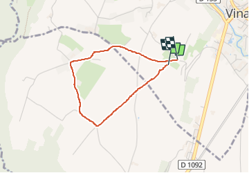

15,8 km | 31 km-effort

Usuario


Aplicación GPS de excursión GRATIS
 SityTrail
IGN / Institutos geográficos
SityTrail World
El mundo es suyo
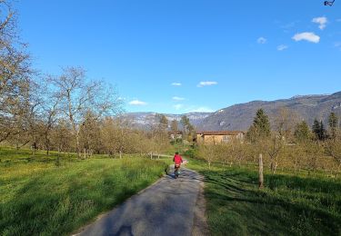
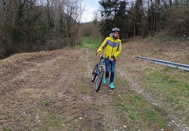
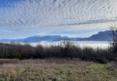
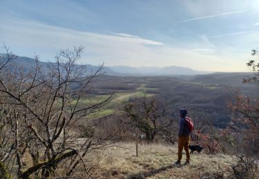
Ruta Senderismo de 2,9 km a descubrir en Auvergne-Rhône-Alpes, Isère, Vinay. Esta ruta ha sido propuesta por crocau.
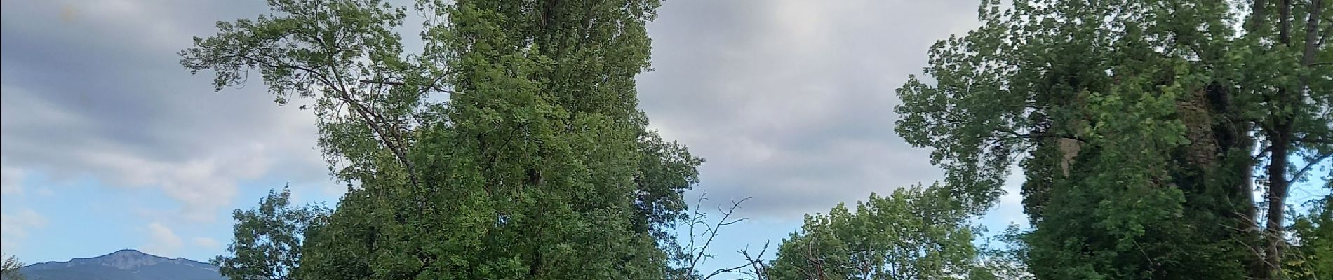
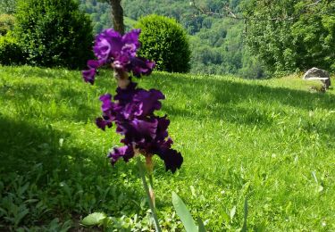
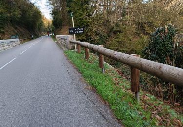
Balade facile sur un parcours marqué en jaune bien visible mais non repertorié. Nous traversons une réserve de chasse et de faune sauvage et atteignons ce qu'il reste du Château de la Blache et de son et de son petit étang.


Senderismo
Bici de carretera
Bici de montaña
Bici de montaña
Senderismo
Senderismo
Senderismo
Senderismo
Senderismo