


7,9 km | 10,3 km-effort


Usuario


Aplicación GPS de excursión GRATIS
 SityTrail
IGN / Institutos geográficos
SityTrail World
El mundo es suyo
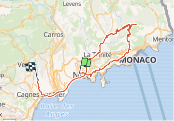
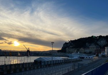
Ruta Bici de carretera de 75 km a descubrir en Provenza-Alpes-Costa Azul, Alpes Marítimos, Niza. Esta ruta ha sido propuesta por bosses21.
Col de Villefranche - 159 m /
Col du Caire - 180 m /
Col de Guerre - 557 m /
Col de la Madone de Gorbio - 925 m /
Col de Saint-Pancrace - 672 m /
Col de Pelletier - 310 m /
Le Collet - 290 m

Senderismo
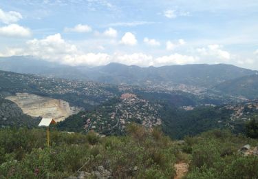
Senderismo

Senderismo
Senderismo
Senderismo
Senderismo
Senderismo

Senderismo
Senderismo