


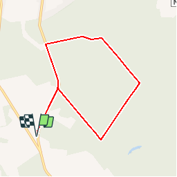


9,5 km | 12,1 km-effort
Randonnées au coeur d'une nature préservée GUIDE+


Aplicación GPS de excursión GRATIS
 SityTrail
IGN / Institutos geográficos
SityTrail World
El mundo es suyo
Ruta Senderismo de 7,2 km a descubrir en Valonia, Henao, Chimay. Esta ruta ha sido propuesta por La Forêt du Pays de Chimay.
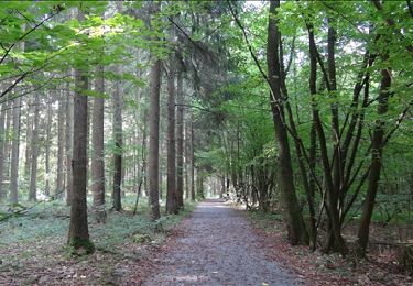
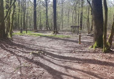
The Entre-Seine-et-Meuse (Between Seine and Meuse) Walk is an invigorating walk suitable for all.
It will provide you with an unexpected and charming range of scenery to admire. In wet weather, bring good waterproof shoes.
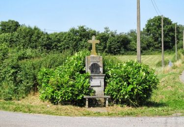
 -Entre-Seine-et-Meuse (Between Seine and Meuse) Walk - Photo 1")

Senderismo
Senderismo
Senderismo
Senderismo
Senderismo
Senderismo

A pie
Senderismo
Senderismo