
22 km | 26 km-effort

Usuario GUIDE


Aplicación GPS de excursión GRATIS
 SityTrail
IGN / Institutos geográficos
SityTrail World
El mundo es suyo
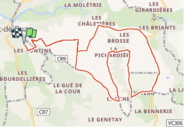
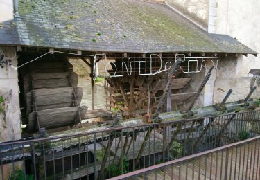
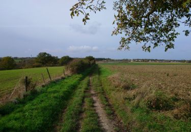
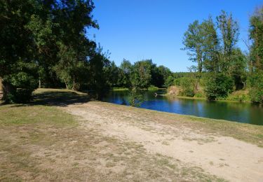
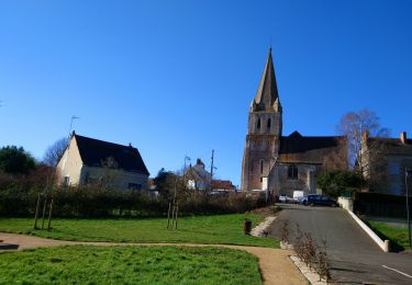
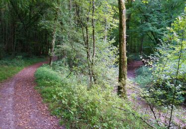
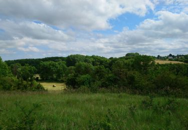
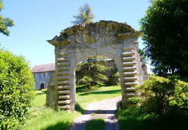
Ruta Senderismo de 14,1 km a descubrir en Centro, Indre y Loira, Pont-de-Ruan. Esta ruta ha sido propuesta por Orcal37.
Pont-de-Ruan - Couteau - 14.1km 120m 3h15 - 2022 07 08


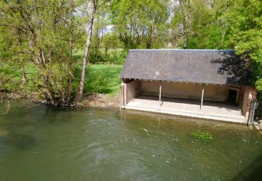
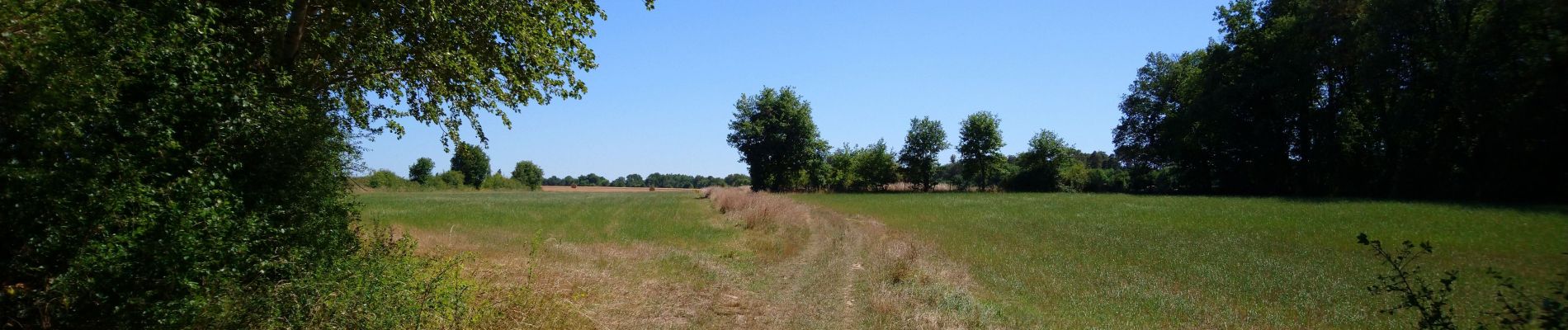
Senderismo
Senderismo
Senderismo
Senderismo
Senderismo
Senderismo
Senderismo
Senderismo