


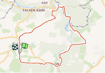

18,3 km | 24 km-effort


Usuario


Aplicación GPS de excursión GRATIS
 SityTrail
IGN / Institutos geográficos
SityTrail World
El mundo es suyo
Ruta Senderismo de 9,8 km a descubrir en Valonia, Namur, Onhaye. Esta ruta ha sido propuesta por thomarche.
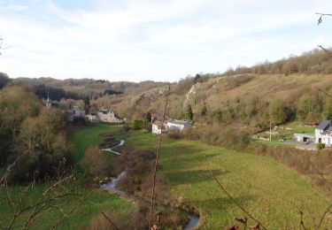
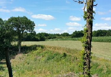
Boucle avc macadam peu fréquenté. Très beau village tout en pierres. ruines château Montaigle sentier long Flavion.

Senderismo

Senderismo

Senderismo

Senderismo

Senderismo

Senderismo

Senderismo
Senderismo
Senderismo