


6,9 km | 9,7 km-effort


Usuario


Aplicación GPS de excursión GRATIS
 SityTrail
IGN / Institutos geográficos
SityTrail World
El mundo es suyo
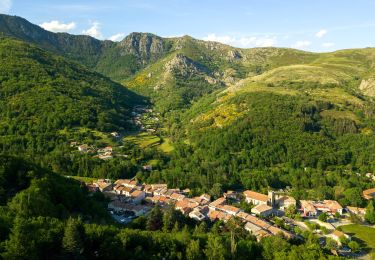
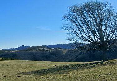
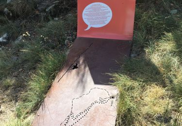
Ruta Senderismo de 73 km a descubrir en Auvergne-Rhône-Alpes, Ardecha, Montpezat-sous-Bauzon. Esta ruta ha sido propuesta por loicthev.
J1 : 27,7km ; 1020m d ; 630m d- ; 8h
J2 : 24,6km ; 405m d ; 1000m d- ; 6h50
J3 : 20,7km ; 700m d ; 515m d- ; 5h30
Alexandre
29, 30 juin et 1 juillet 2022

Senderismo
Senderismo
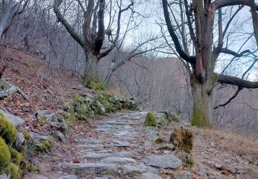
Senderismo
Senderismo
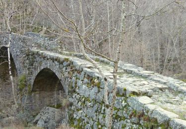
Senderismo
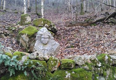
Senderismo
Senderismo
Senderismo
Senderismo