


12,2 km | 28 km-effort

Usuario


Aplicación GPS de excursión GRATIS
 SityTrail
IGN / Institutos geográficos
SityTrail World
El mundo es suyo
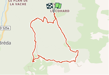
Ruta Senderismo de 11,1 km a descubrir en Auvergne-Rhône-Alpes, Isère, Le Haut-Bréda. Esta ruta ha sido propuesta por patjobou.
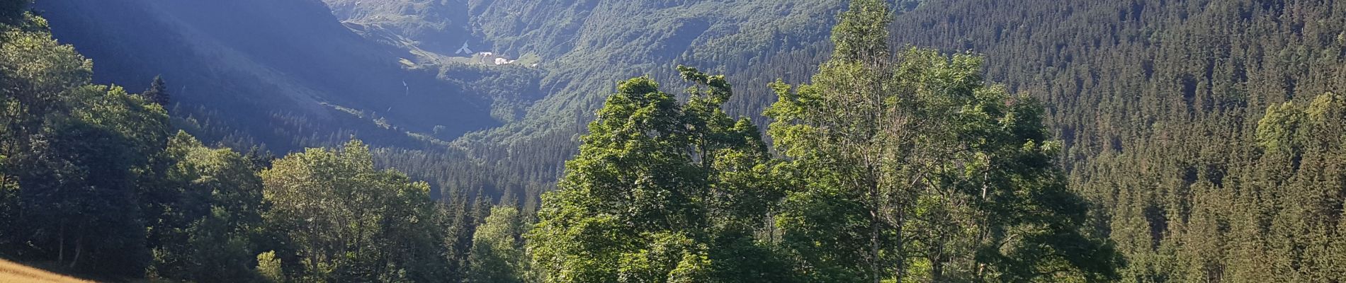
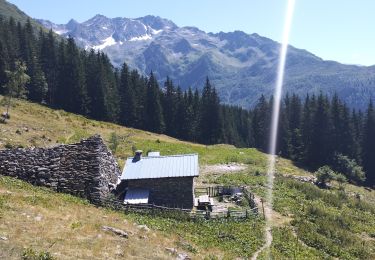
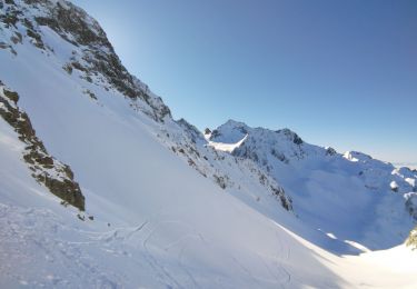
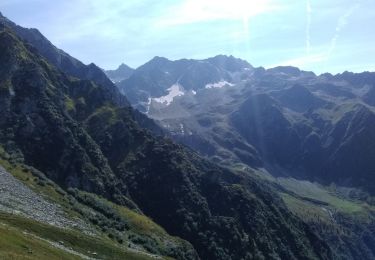
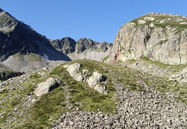
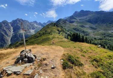
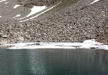
La montée jusqu'au Chalet du Bout est soutenue, mais ombragée; peu après le chalet, on peut observer deux beaux sapins datant de Henri IV (400 ans). La suite de la montée jusqu'au lac est plus classique. Le chalet est propre et bien aménagé. Au dessus du chalet, on retrouve une montée soutenue jusqu'à la Croix du Léa: beau promontoire d'où on a une vue à presque 360°. Casse croûte et beau point de vue à La Pierre du Pin. Ensuite, la traversée par le GR738 est 'sportive', et nous avons eu la chance d'avoir un sentier franchement débroussaillé. La suite est classique.
Très belle boucle dans une vallée sauvage, et peu pratiquée.


Senderismo
Senderismo
Esquí de fondo
Senderismo
Senderismo
Senderismo
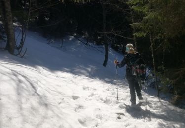
Raquetas de nieve

A pie
Senderismo