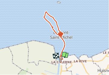


12,1 km | 14 km-effort

Usuario GUIDE


Aplicación GPS de excursión GRATIS
 SityTrail
IGN / Institutos geográficos
SityTrail World
El mundo es suyo
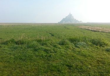
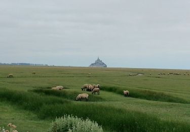
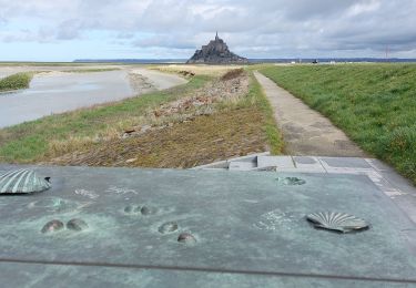
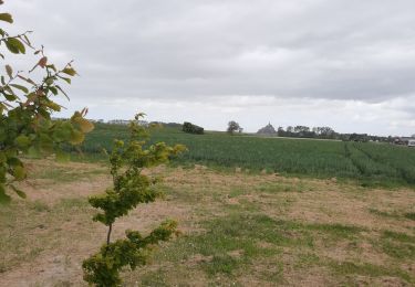
Ruta Senderismo de 17,4 km a descubrir en Normandía, Mancha, Monte Saint-Michel. Esta ruta ha sido propuesta por chessyca.
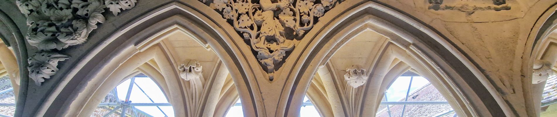
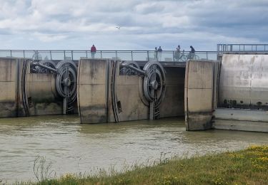
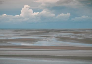
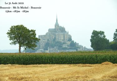
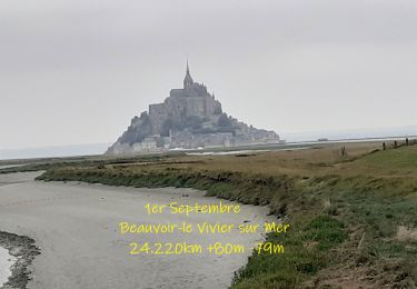
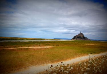
balade baie et visite abbaye


22 fotos en total. Haga clic en una foto para mostrarlas todas en la galería.
Senderismo
A pie
Senderismo
Senderismo
Bici de montaña
Senderismo
Senderismo
Senderismo