


9,5 km | 12 km-effort

Usuario GUIDE


Aplicación GPS de excursión GRATIS
 SityTrail
IGN / Institutos geográficos
SityTrail World
El mundo es suyo
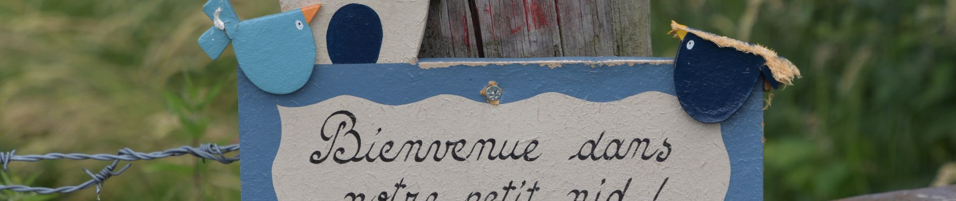
Ruta Senderismo de 7,1 km a descubrir en Valonia, Lieja, Aubel. Esta ruta ha sido propuesta por pierreh01.
Lundi 20 juin 2022 : Balade hebdomadaire des "BIOS"
Au départ de Aubel, sous la direction de Gérard, circuit en boucle largement inspirée de la Balade de Saint-Hubert de la Maison du Tourisme du Pays de Herve.
A travers champs, sentiers et route sous une météo très agréable.


31 fotos en total. Haga clic en una foto para mostrarlas todas en la galería.

Senderismo

Senderismo

Senderismo

Senderismo

Senderismo

Senderismo

Senderismo

Senderismo
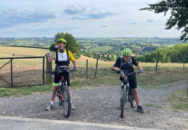
Bici de montaña