


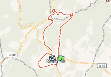

10,3 km | 14,1 km-effort

Usuario GUIDE


Aplicación GPS de excursión GRATIS
 SityTrail
IGN / Institutos geográficos
SityTrail World
El mundo es suyo
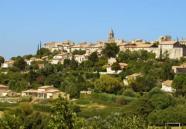
Ruta Senderismo de 9,3 km a descubrir en Auvergne-Rhône-Alpes, Drôme, Réauville. Esta ruta ha sido propuesta por chancha.
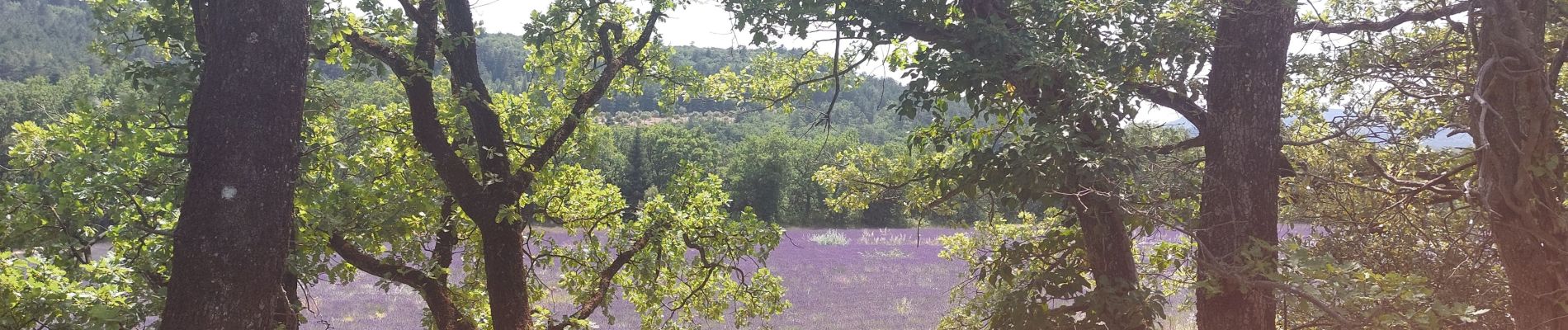
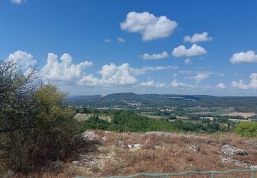
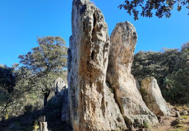
Jolie Rando , abritè de la chaleur ,rocher de la vierge , au cours du circuit bifurquer sur la gauche pour découvrir une jolie cascade . A l’arrivé une stèle du Premier Soldat de France .


Senderismo
Senderismo
Senderismo
Senderismo

Senderismo

Senderismo
Senderismo
Senderismo
Senderismo