


18,1 km | 22 km-effort


Usuario


Aplicación GPS de excursión GRATIS
 SityTrail
IGN / Institutos geográficos
SityTrail World
El mundo es suyo
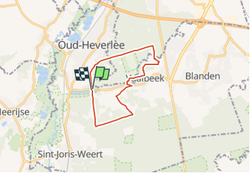
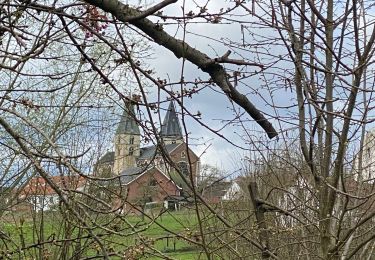
Ruta Senderismo de 9,9 km a descubrir en Flandes, Brabante Flamenco, Oud-Heverlee. Esta ruta ha sido propuesta por madeleinediez.
Départ du parking de la chapelle O-L-V van Steenbergen
Maurits Noëstraat à3050 Oud-Heverlee

Senderismo
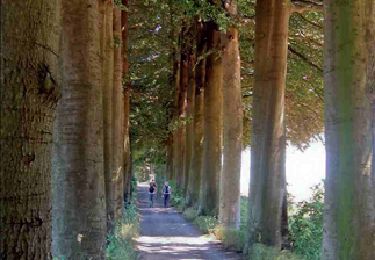
Senderismo
Senderismo
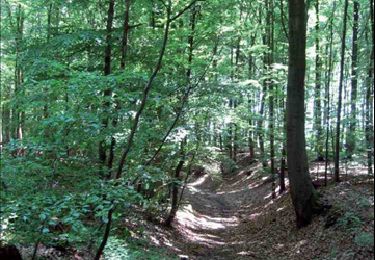
Senderismo
Senderismo
Senderismo
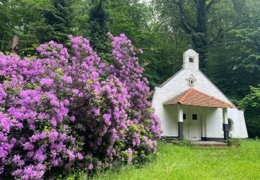
Senderismo
Marcha nórdica

Senderismo