


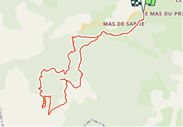

13,5 km | 15,6 km-effort


Usuario


Aplicación GPS de excursión GRATIS
 SityTrail
IGN / Institutos geográficos
SityTrail World
El mundo es suyo
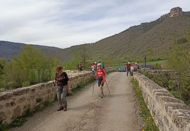
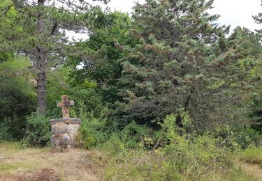
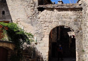
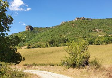
Ruta Senderismo de 13,9 km a descubrir en Occitania, Aveyron, Nant. Esta ruta ha sido propuesta por coulombf.
3/10/2019 groupe marche SV
16/06/2022 groupe marche FC
14/09/2023 groupe marche FC
La Randonnée Cévenole (maj 23/09/2021)

Senderismo
Senderismo
Senderismo

Senderismo
Senderismo
Marcha nórdica
Senderismo
Senderismo

Senderismo