


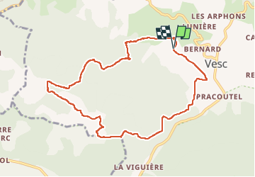

5,3 km | 7 km-effort


Usuario


Aplicación GPS de excursión GRATIS
 SityTrail
IGN / Institutos geográficos
SityTrail World
El mundo es suyo
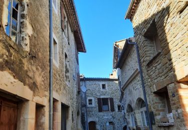
Ruta Senderismo de 10 km a descubrir en Auvergne-Rhône-Alpes, Drôme, Vesc. Esta ruta ha sido propuesta por elcanario.
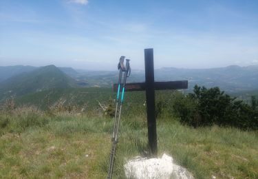
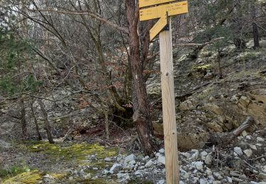
Jolie randonnée avec de belles vues. partie après Paulhiet très raide. Descente sur sentier quasi inexistant. vaut mieux contourner par ferme du col de Vesc

Senderismo
Senderismo
Senderismo
Senderismo


sport
Senderismo
Senderismo
Senderismo
Senderismo