


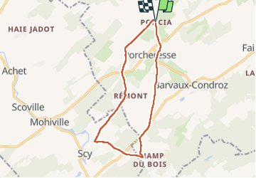

7,9 km | 9,8 km-effort

Usuario


Aplicación GPS de excursión GRATIS
 SityTrail
IGN / Institutos geográficos
SityTrail World
El mundo es suyo
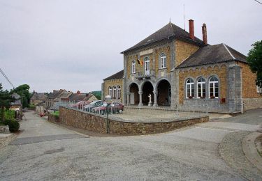
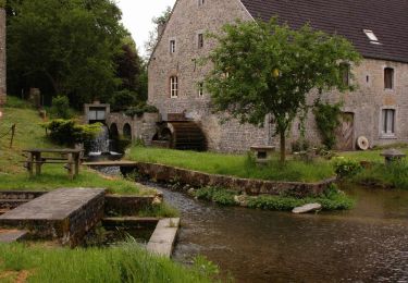
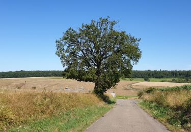
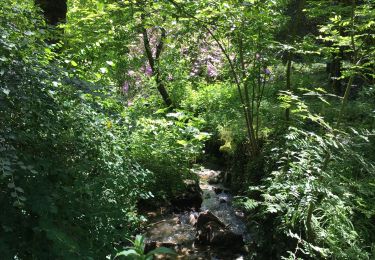
Ruta Senderismo de 12 km a descubrir en Valonia, Namur, Havelange. Esta ruta ha sido propuesta por JEANMINNE.
Poncia-Bois des Quartiers-Gros Chêne-Fme du Hasard-Cachettes-Fme de Chapelle-Aux Cerisiers-Fosse au Tombeu-Trou des Nutons-Remont-Coin du Bois-Clinchamp-Poncia.


Senderismo
Senderismo

Senderismo
Senderismo
Senderismo
Senderismo

Senderismo
Senderismo

Bicicleta