


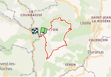

19,6 km | 37 km-effort


Usuario


Aplicación GPS de excursión GRATIS
 SityTrail
IGN / Institutos geográficos
SityTrail World
El mundo es suyo
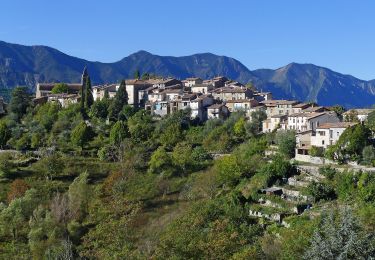
Ruta Senderismo de 16,1 km a descubrir en Provenza-Alpes-Costa Azul, Alpes Marítimos, Utelle. Esta ruta ha sido propuesta por franquen.
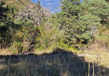
Rando assez difficile par sa longueur, le sentier souvent pierrier.
Dernier tronçon en devers et mal tracé.
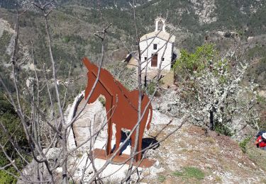
Rencontre et discussion insolite avec le seul habitant du Reveston.

Senderismo

Senderismo

A pie

A pie
A pie
Senderismo

Senderismo
Senderismo

Senderismo