


21 km | 31 km-effort


Usuario


Aplicación GPS de excursión GRATIS
 SityTrail
IGN / Institutos geográficos
SityTrail World
El mundo es suyo
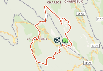
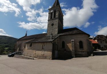
Ruta Senderismo de 10,4 km a descubrir en Auvergne-Rhône-Alpes, Ain, Bénonces. Esta ruta ha sido propuesta por Cartu73.
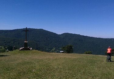
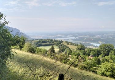
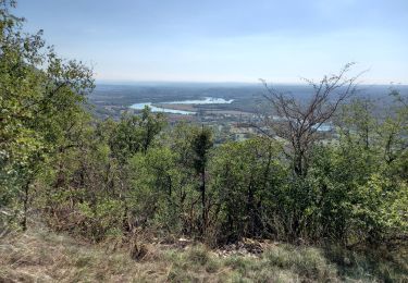
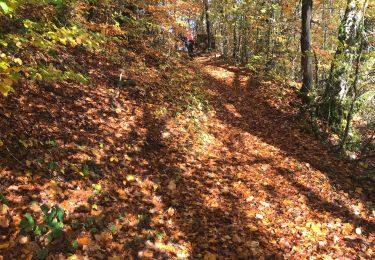
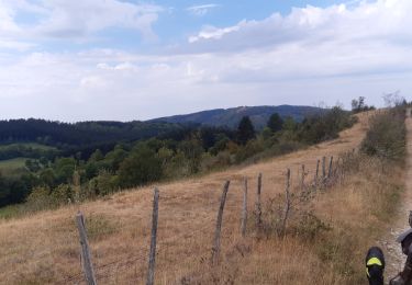
Randonnée sans grande difficulté,essentiellement en sous bois ou forêt (magnifique).
Type de chemin:
La plupart du temps route forestiere ou chemin bien large.
Chemin plus étroit après la correrie et le temps de remonter vers le col de porte et le parking.
Bici de montaña
Senderismo
Senderismo
Senderismo

Senderismo
Senderismo
Paseo ecuestre

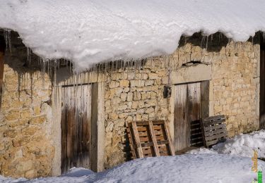
Raquetas de nieve
Senderismo