


12,7 km | 17,9 km-effort


Usuario


Aplicación GPS de excursión GRATIS
 SityTrail
IGN / Institutos geográficos
SityTrail World
El mundo es suyo
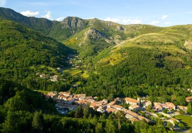
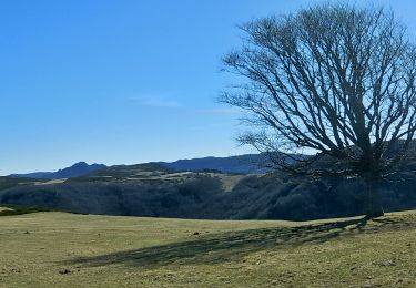
Ruta Senderismo de 14,5 km a descubrir en Auvergne-Rhône-Alpes, Ardecha, Saint-Cirgues-en-Montagne. Esta ruta ha sido propuesta por 07es18.
1 peu avant le mas de gregory on peut prendre le chemin sur la gauche pour éviter la route; il ressort 1 peu loin. Ce chemin ne figure ni sur ign ni sur open street.

Senderismo
Senderismo
Senderismo
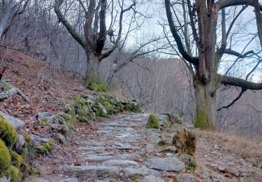
Senderismo
Senderismo
Senderismo
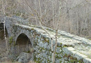
Senderismo
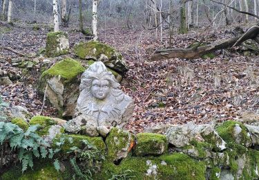
Senderismo
Senderismo