


19,2 km | 27 km-effort

Usuario GUIDE


Aplicación GPS de excursión GRATIS
 SityTrail
IGN / Institutos geográficos
SityTrail World
El mundo es suyo
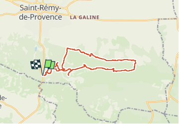
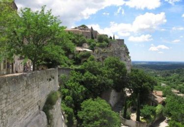
Ruta Senderismo de 16,2 km a descubrir en Provenza-Alpes-Costa Azul, Bocas del Ródano, Saint-Rémy-de-Provence. Esta ruta ha sido propuesta por donda.
Départ Parking sur la D5 à 3km du site Antiques de Glanum.
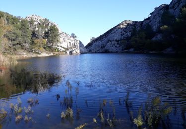
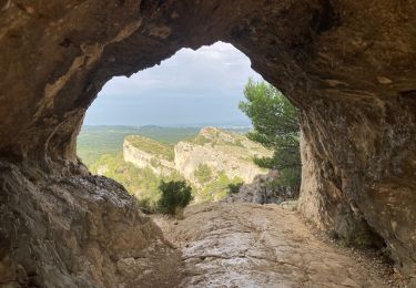
randonnée aérienne, passage rocheux étroit.
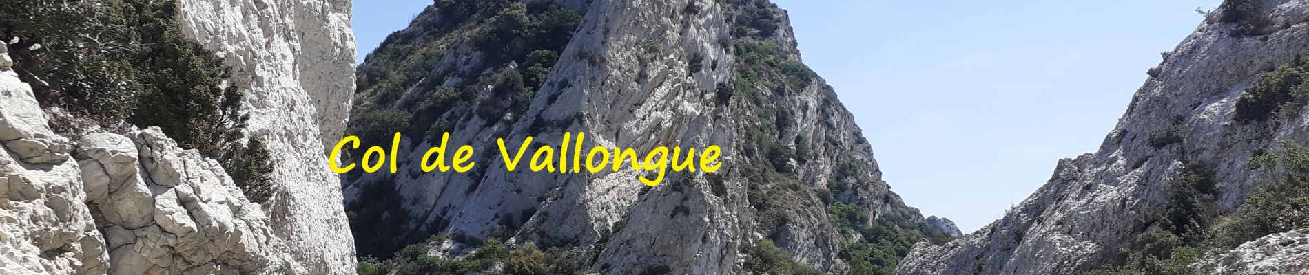
Rocher des 2 Trous - plateau de Caume - Pas de l'Aigle - Col de Vallongue (descente dans un défilé rocheux, sentier délicat du aux éboulis). Quitter le GR 6 aprés le Château de Romanin, on longe le bas de la crête. A Séraillant (Grotte) reprendre le GR6 jusqu'au Parking
 - Photo 1")
 - Photo 2")
 - Photo 3")
 - Photo 4")
 - Photo 5")
 - Photo 6")
 - Photo 7")
 - Photo 8")
Senderismo
Senderismo

Senderismo
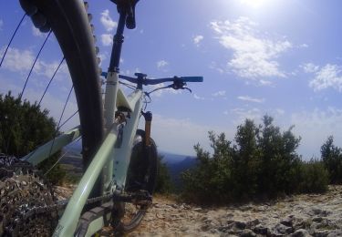
Bici de montaña
Senderismo

Senderismo
Senderismo
Senderismo
Bici de montaña