![](/images/other/stat-length.png)
![Excursión Bicicleta Puurs-Sint-Amands - De Duvelroute - Photo](https://media.geolcdn.com/t/1900/400/ext.pjpeg?maxdim=2&url=https%3A%2F%2Fservices.sitytrail.com%2FGeolivesWS%2FDownloadMedia.ashx%3FTrailID%3D324697%26Media%3Db2ed46b3-5597-4636-b5c6-52c206392b10.jpg)
De Duvelroute
realsinger
Usuario
![Longitud](/images/other/stat-length.png)
Longitud
50 km
![Altitud máxima](https://static1.geolcdn.com/siteimages/upload/files/1508320355ic_sort_altitude_max_24dp.png)
Altitud máxima
20 m
![Desnivel positivo](https://static1.geolcdn.com/siteimages/upload/files/1508320355ic_sort_den_pos_24dp.png)
Desnivel positivo
208 m
![Km-Effort](/images/other/stat-length.png)
Km-Effort
53 km
![Altitud mínima](https://static1.geolcdn.com/siteimages/upload/files/1508320355ic_sort_altitude_min_24dp.png)
Altitud mínima
-5 m
![Desnivel negativo](https://static1.geolcdn.com/siteimages/upload/files/1508320355ic_sort_den_neg_24dp.png)
Desnivel negativo
208 m
![Boucle](https://static1.geolcdn.com/siteimages/upload/files/16400158638029165_repeat_loop_refresh_sync_direction_icon.png)
Boucle
Sí
Fecha de creación :
2014-12-10 00:00:00.0
Última modificación :
2014-12-10 00:00:00.0
![Bicicleta](https://static1.geolcdn.com/sitytour/trail-icons/200.png)
3h07
Dificultad : Desconocido
![Escanee este código QR para abrir la excursión en la aplicación SityTrail](https://capi.geolives.com/qq0zvz2zws4bq2lad0pu/sitytour/trails/324697/qr.png?size=200)
Aplicación GPS de excursión GRATIS
A propósito
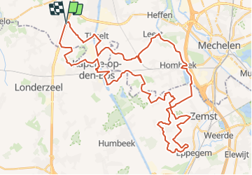
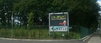
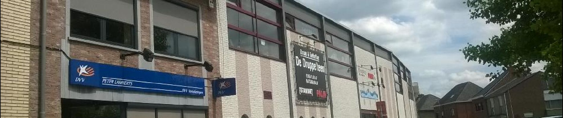
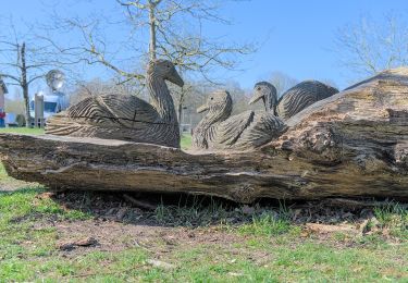
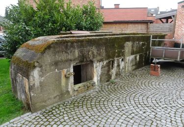
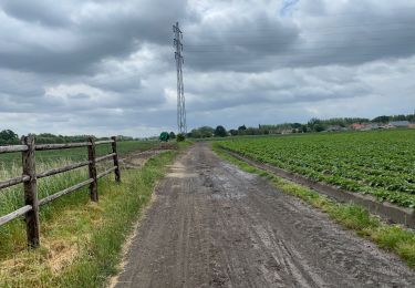
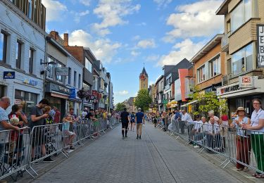
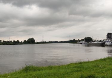
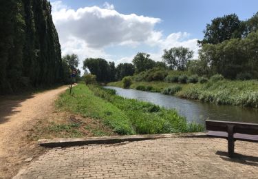
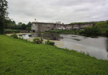
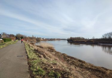
Ruta Bicicleta de 50 km a descubrir en Flandes, Amberes, Puurs-Sint-Amands. Esta ruta ha sido propuesta por realsinger.
Descripción
Zie ook gpx-tracks.nl. Niet langer bepijld omdat 3/4 café's op de route verdwenen is en Zemst al genoeg andere fietsroutes heeft. Er is wel een nieuwe Duvelroute geënt op knooppunten in Willebroek en Puurs.
Puntos de interés
Localización
País:
Belgium
Región :
Flandes
Departamento/provincia :
Amberes
Municipio :
Puurs-Sint-Amands
Localidad:
Breendonk
Salida:(Dec)
Salida:(UTM)
593241 ; 5655248 (31U) N.
Comentarios
Excursiones cerca
![Excursión A pie Willebroek - Vekielpad - Photo](https://media.geolcdn.com/t/375/260/80a6eba7-86e2-4a14-ae97-ae2366980818.jpeg&format=jpg&maxdim=2)
![A pie A pie](https://static1.geolcdn.com/sitytour/trail-icons/100.png)
![Excursión A pie Willebroek - Watersportpad - Photo](https://media.geolcdn.com/t/375/260/308ee6b0-68fb-449e-86c7-687fa18c8ce8.jpeg&format=jpg&maxdim=2)
![A pie A pie](https://static1.geolcdn.com/sitytour/trail-icons/100.png)
![Excursión Senderismo Londerzeel - Londerzeel Lippelo 19 km - Photo](https://media.geolcdn.com/t/375/260/f350d401-70e5-49a4-84f9-0eb3bee85cb4.jpg&format=jpg&maxdim=2)
![Senderismo Senderismo](https://static1.geolcdn.com/sitytour/trail-icons/101.png)
Londerzeel Lippelo 19 km
Senderismo
Fácil
Londerzeel,
Flandes,
Brabante Flamenco,
Belgium
![](/images/other/stat-length.png)
19,2 km | 21 km-effort
3h 56min
![](https://static1.geolcdn.com/siteimages/upload/files/16400158638029165_repeat_loop_refresh_sync_direction_icon.png)
Sí
![Excursión Senderismo Puurs-Sint-Amands - Dodentoch 2023 - Fin des 100 km - Photo](https://media.geolcdn.com/t/375/260/36da7172-a16f-4e5a-83e7-0166424bfce6.jpg&format=jpg&maxdim=2)
![Senderismo Senderismo](https://static1.geolcdn.com/sitytour/trail-icons/101.png)
Dodentoch 2023 - Fin des 100 km
Senderismo
Fácil
Puurs-Sint-Amands,
Flandes,
Amberes,
Belgium
![](/images/other/stat-length.png)
31 km | 33 km-effort
6h 8min
![](https://static1.geolcdn.com/siteimages/upload/files/16400158638029165_repeat_loop_refresh_sync_direction_icon.png)
No
![Excursión A pie Boom - Piet Van Akenwandelroute door kleiputten - Photo](https://media.geolcdn.com/t/375/260/fea21fee-3e06-468d-b0cf-1adae3b45ad6.jpeg&format=jpg&maxdim=2)
![A pie A pie](https://static1.geolcdn.com/sitytour/trail-icons/100.png)
Piet Van Akenwandelroute door kleiputten
A pie
Fácil
Boom,
Flandes,
Amberes,
Belgium
![](/images/other/stat-length.png)
5,6 km | 6,2 km-effort
1h 24min
![](https://static1.geolcdn.com/siteimages/upload/files/16400158638029165_repeat_loop_refresh_sync_direction_icon.png)
Sí
![Excursión Senderismo Puurs-Sint-Amands - Randonnée à Sauvegarde - Photo](https://media.geolcdn.com/t/375/260/9a483e96-6e2b-480f-b6f9-d5e845c14cfd.jpg&format=jpg&maxdim=2)
![Senderismo Senderismo](https://static1.geolcdn.com/sitytour/trail-icons/101.png)
Randonnée à Sauvegarde
Senderismo
Muy fácil
(1)
Puurs-Sint-Amands,
Flandes,
Amberes,
Belgium
![](/images/other/stat-length.png)
19,7 km | 21 km-effort
4h 54min
![](https://static1.geolcdn.com/siteimages/upload/files/16400158638029165_repeat_loop_refresh_sync_direction_icon.png)
Sí
![Excursión Senderismo Puurs-Sint-Amands - Sauvegarde 20 km - Photo](https://media.geolcdn.com/t/375/260/ext.jpg?maxdim=2&url=https%3A%2F%2Fservices.sitytrail.com%2FGeolivesWS%2FDownloadMedia.ashx%3FTrailID%3D1012041%26Media%3D20180728151705.jpg)
![Senderismo Senderismo](https://static1.geolcdn.com/sitytour/trail-icons/101.png)
Sauvegarde 20 km
Senderismo
Fácil
(1)
Puurs-Sint-Amands,
Flandes,
Amberes,
Belgium
![](/images/other/stat-length.png)
20 km | 21 km-effort
4h 50min
![](https://static1.geolcdn.com/siteimages/upload/files/16400158638029165_repeat_loop_refresh_sync_direction_icon.png)
Sí
![Excursión Senderismo Puurs-Sint-Amands - Fort Liezele - Oppuurs and back - Photo](https://media.geolcdn.com/t/375/260/a5b0573d-615e-41e8-bbc2-0605ff4cfdc8.jpg&format=jpg&maxdim=2)
![Senderismo Senderismo](https://static1.geolcdn.com/sitytour/trail-icons/101.png)
Fort Liezele - Oppuurs and back
Senderismo
Medio
Puurs-Sint-Amands,
Flandes,
Amberes,
Belgium
![](/images/other/stat-length.png)
10,5 km | 11,1 km-effort
2h 31min
![](https://static1.geolcdn.com/siteimages/upload/files/16400158638029165_repeat_loop_refresh_sync_direction_icon.png)
Sí
![Excursión Senderismo Boom - Boom - Kleiputten - Photo](https://media.geolcdn.com/t/375/260/dfdc53d2-45ef-4ecd-a54f-b9da0154d64b.jpg&format=jpg&maxdim=2)
![Senderismo Senderismo](https://static1.geolcdn.com/sitytour/trail-icons/101.png)
Boom - Kleiputten
Senderismo
Fácil
Boom,
Flandes,
Amberes,
Belgium
![](/images/other/stat-length.png)
5,3 km | 5,8 km-effort
1h 18min
![](https://static1.geolcdn.com/siteimages/upload/files/16400158638029165_repeat_loop_refresh_sync_direction_icon.png)
Sí