


14,1 km | 31 km-effort

Usuario


Aplicación GPS de excursión GRATIS
 SityTrail
IGN / Institutos geográficos
SityTrail World
El mundo es suyo
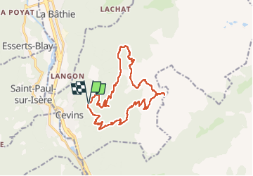
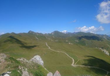
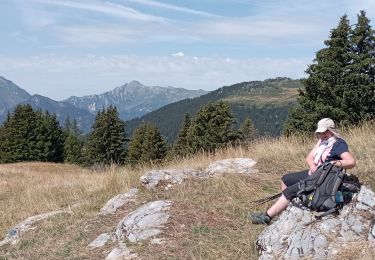
Ruta Senderismo de 18,3 km a descubrir en Auvergne-Rhône-Alpes, Saboya, Cevins. Esta ruta ha sido propuesta por bill73.
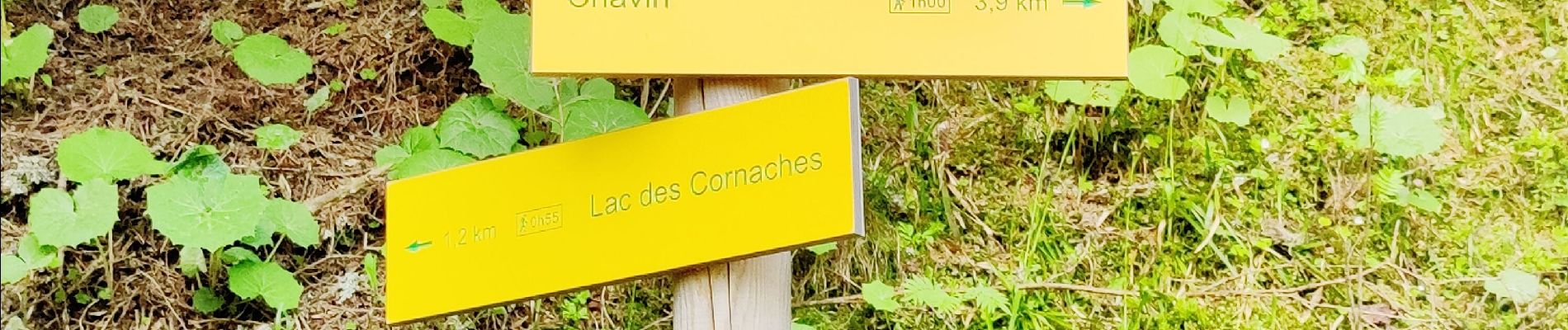
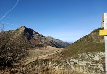
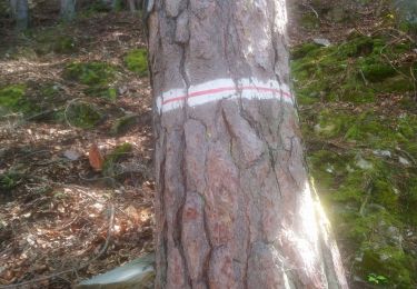
Bonne rando pour commencer à connaître les chemins, monter jusqu'au Col des Evettes.
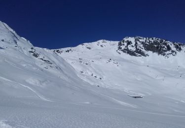
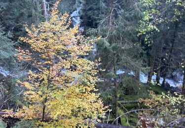
Vu chamois- Cerf


Senderismo
Esquí de fondo
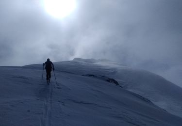
Esquí de fondo
Esquí de fondo
Senderismo
Senderismo
Senderismo
Senderismo
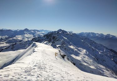
Raquetas de nieve