


9,8 km | 21 km-effort

Usuario GUIDE


Aplicación GPS de excursión GRATIS
 SityTrail
IGN / Institutos geográficos
SityTrail World
El mundo es suyo
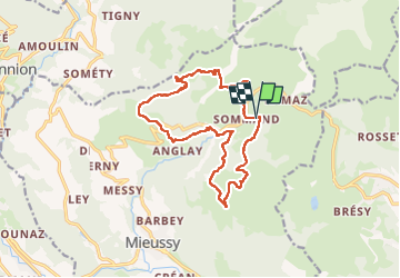
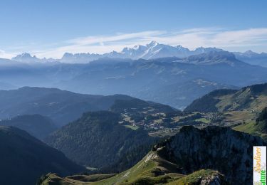
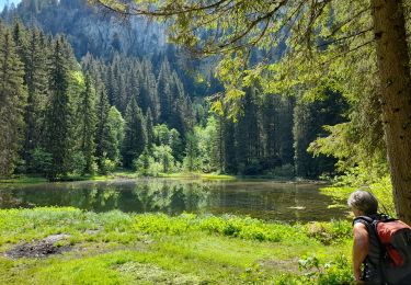
Ruta Senderismo de 14,9 km a descubrir en Auvergne-Rhône-Alpes, Alta Saboya, Mieussy. Esta ruta ha sido propuesta por Kargil.
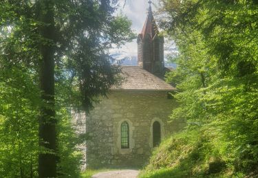
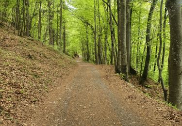
Boucle agréable et variée sur chemins et sentiers
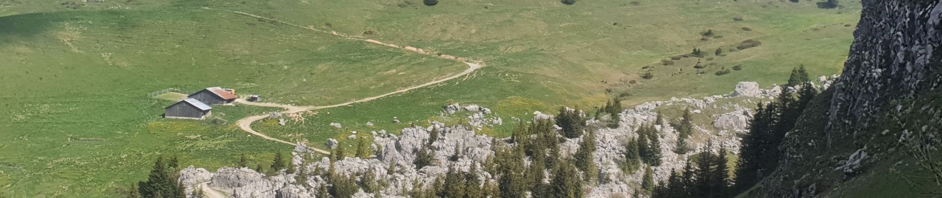
Passage aérien avant le pont de la cascade facile et sécurisé par un câble.
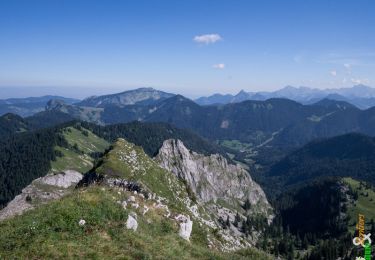
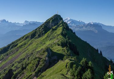
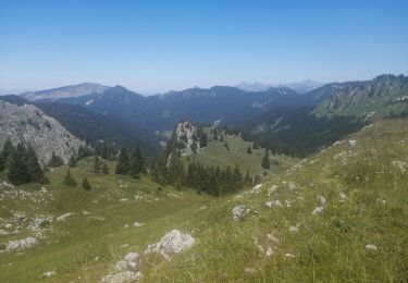
Bonus possible jusqu'à la Pointe de Marcelly ( 400m) depuis le Pertuiset


Senderismo
Senderismo
Senderismo
Senderismo
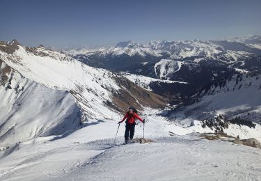
Esquí de fondo

Senderismo
Senderismo
Senderismo
Senderismo