


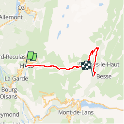


9,8 km | 14,3 km-effort


Usuario GUIDE


Aplicación GPS de excursión GRATIS
 SityTrail
IGN / Institutos geográficos
SityTrail World
El mundo es suyo
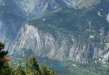
Ruta Senderismo de 17 km a descubrir en Auvergne-Rhône-Alpes, Isère, Huez. Esta ruta ha sido propuesta por randotines.
Belle étape sans grandes difficultés jusqu'au Col de Sarenne, ensuite pour éviter la descente trop forte du GR, j'ai longé la route sur - 2.8 à 3 km jusqu'à l'embranchement du sentier VTT que j'ai suivi jusqu'à Clavans le bas, ça rallonge un peu l'étape mais supprime des difficultés surtout par temps de pluie ce qui fut mon cas...et le chemin est très agréable.
Senderismo
Esquí de fondo
Esquí de fondo

Senderismo
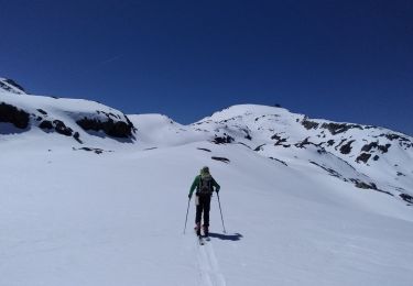
Esquí de fondo
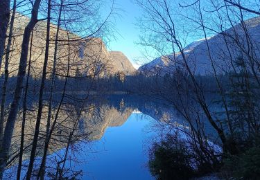
Senderismo
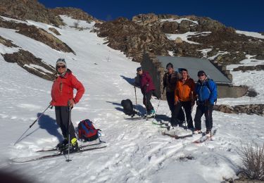
Esquí de fondo
Senderismo
Senderismo