


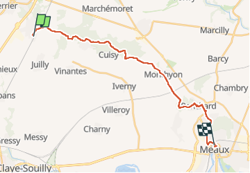

7,9 km | 8,9 km-effort

Usuario GUIDE


Aplicación GPS de excursión GRATIS
 SityTrail
IGN / Institutos geográficos
SityTrail World
El mundo es suyo
Ruta Senderismo de 22 km a descubrir en Isla de Francia, Sena y Marne, Saint-Mard. Esta ruta ha sido propuesta por chessyca.
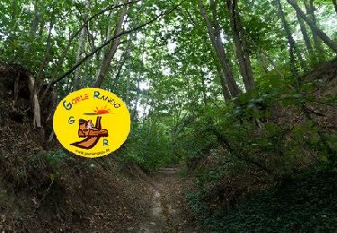
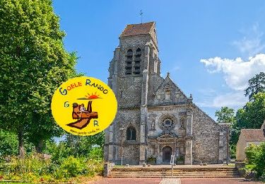
Etape courte effectuée dans la matinée sur une allure plus rapide.
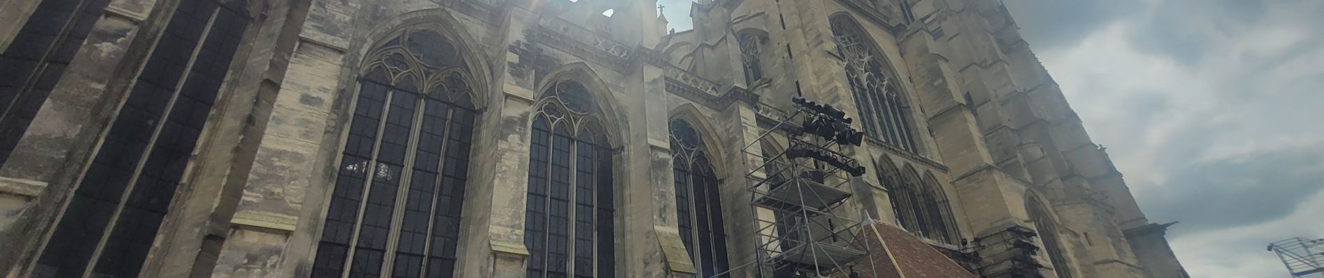
A l'exception de la cathédrale de Meaux , vraiment rien de passionnnant sur le parcours.


Senderismo

Senderismo
A pie
Senderismo
Senderismo
Senderismo

Senderismo
Senderismo
Senderismo