


29 km | 35 km-effort

Usuario


Aplicación GPS de excursión GRATIS
 SityTrail
IGN / Institutos geográficos
SityTrail World
El mundo es suyo
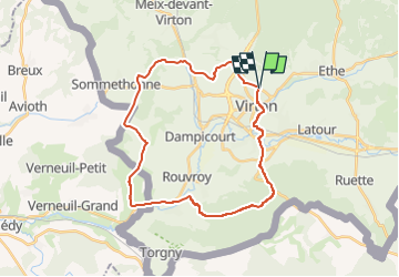
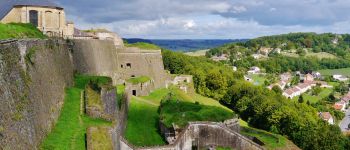
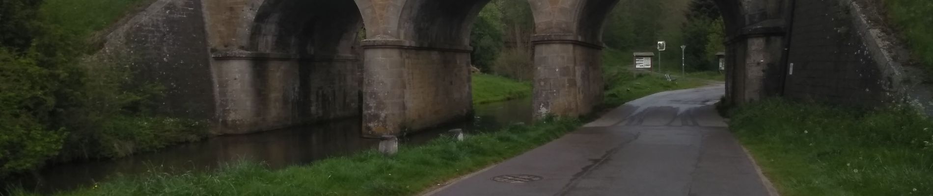
Ruta Senderismo de 28 km a descubrir en Valonia, Luxemburgo, Virton. Esta ruta ha sido propuesta por Pascal L.
Départ/Retour: Virton (Val d'Away)
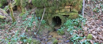
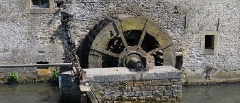
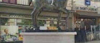
Endroits de passage: Houdrigny, Moulin de Berchiwé (la Chevratte), Chaufour, Ruisseau de Launelle, Haut Bois, Sommethonne, Bois d'Arrentement, Mont Rivaux, Couvreux et son ruisseau, Ecouviez (FR), Lamorteau, Ravel, Aux Bois (hors piste), Bois de Guéville, Bois de la Côte, La Tuilerie, Saint-Mard, Vieux-Virton, Virton.
Ref.
- http://biodiversite.wallonie.be/fr/1290-ligne-sncb-n-155-lamorteau-harnoncourt.html?IDD=251660841&highlighttext= lamorteau &IDC=1881#
- http://observatoire.biodiversite.wallonie.be/carto/sites/carte.aspx?type=sgib&id=1290
(2022.04.29)


30 fotos en total. Haga clic en una foto para mostrarlas todas en la galería.

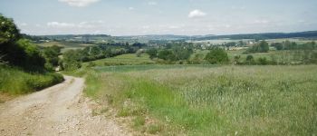
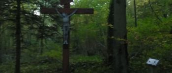
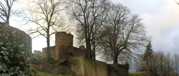
Senderismo

Bici de montaña

Senderismo

A pie

Senderismo

Senderismo

Bici de montaña

Bici de montaña

Bici de montaña