


6,5 km | 15,8 km-effort

Usuario GUIDE


Aplicación GPS de excursión GRATIS
 SityTrail
IGN / Institutos geográficos
SityTrail World
El mundo es suyo
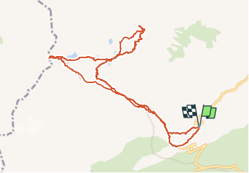
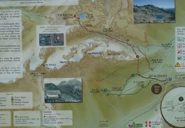
Ruta Esquí de fondo de 11,9 km a descubrir en Auvergne-Rhône-Alpes, Saboya, Saint-Colomban-des-Villards. Esta ruta ha sido propuesta por nadd73.
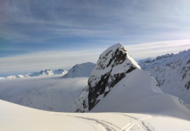
Départ de 1696 sous le col du Glandon.
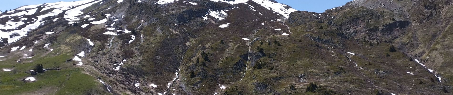
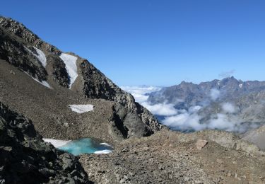
le couloir est un peu raide surtout avec peu de neige.
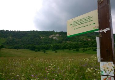
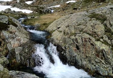
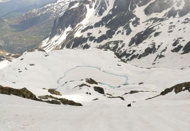
300m de portage.
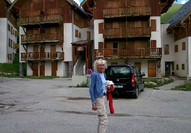
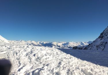
il fait très chaud.


Senderismo
Senderismo
Marcha nórdica
Senderismo
Senderismo
Esquí de fondo
Esquí de fondo
Esquí de fondo
Esquí de fondo