


9 km | 14,2 km-effort

Usuario


Aplicación GPS de excursión GRATIS
 SityTrail
IGN / Institutos geográficos
SityTrail World
El mundo es suyo
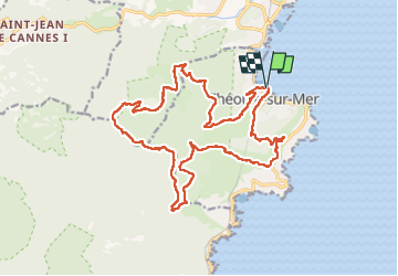
Ruta Senderismo de 23 km a descubrir en Provenza-Alpes-Costa Azul, Alpes Marítimos, Théoule-sur-Mer. Esta ruta ha sido propuesta por ETMU5496.
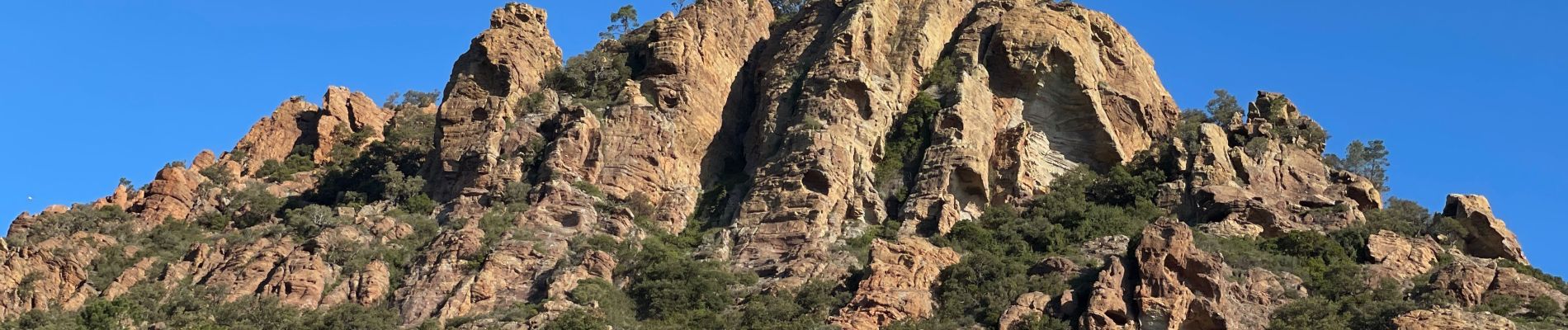
Rocher des Monges
Maure Vieil
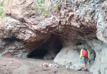
Pont Sarrazin
Piste des oeufs de bouc
col de la cadière
Les grues
ND d'Afrique


Senderismo

Senderismo

Senderismo

A pie

Senderismo
Senderismo

Senderismo

Senderismo
Senderismo